OS Explorer map 250, Norfolk Coast West: King’s Lynn & Hunstanton – I own this map, and had visited it before starting this blog. Visited again for this post 2nd June 2022.
Google Maps location links: King’s Lynn, RSPB Snettisham, Hunstanton
A while ago, introducing my Littleport post, I told you of the plan I came up with while on a day walk from Cambridge to Ely along the Fen Rivers Way: I should return to Ely by train sometime, and continue walking northwards. The Fen Rivers Way and the Fen Line railway nicely parallel each other, so it’d be easy to, over two or three stages completed whenever I had a free weekend day and was feeling energetic, to pick up where I left off, and complete the Way, walking up to King’s Lynn, 50 miles or so north of Cambridge. I’d then have walked nearly from my home in Cambridge to the sea, which seemed a nicely satisfying goal.
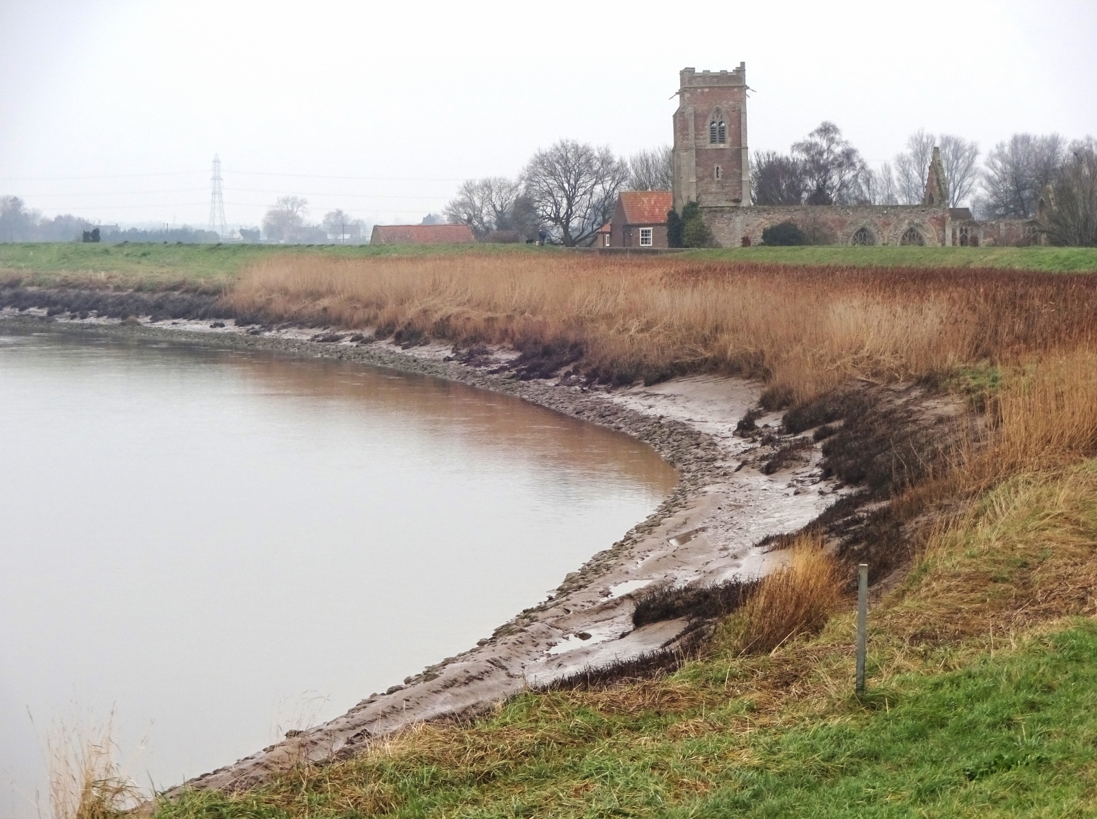
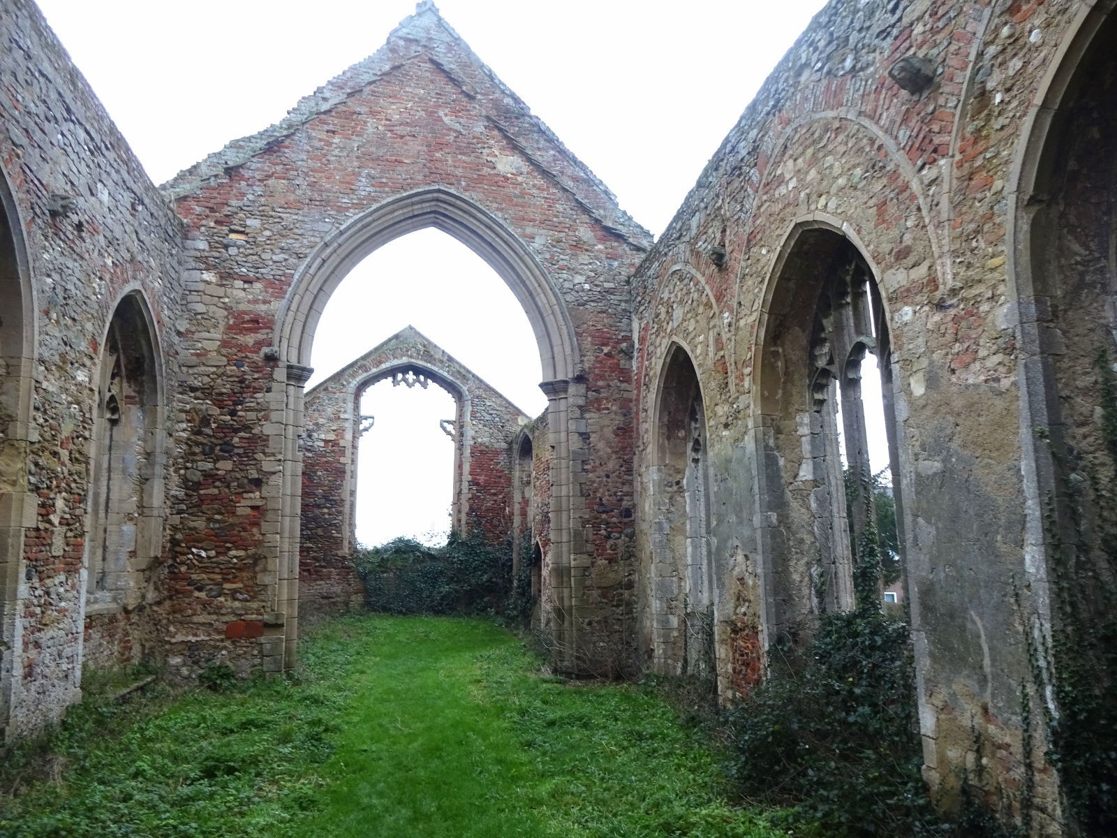
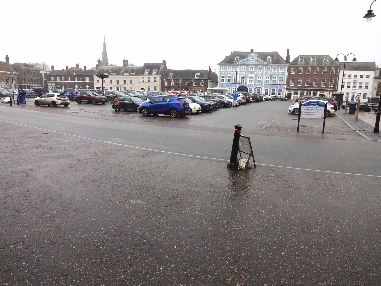
That post went on to tell you of the second stage of that walk I did a month or so later, in early October 2021, from Ely on to Littleport. I can now happily report to you that I did indeed return twice more to this walk, walking from Littleport to Downham Market in mid-December, and Downham Market to King’s Lynn in January. Those walks were in map areas I’d already posted about – the same map as Littleport again (228), and 236 – so I won’t narrate them, but here are some photos. I had a great time, with some highlights including the ruined church of St Peter’s Wiggenhall, where I stopped for lunch; and discovering Downham Market, which turned out to be a delightful town. [1]
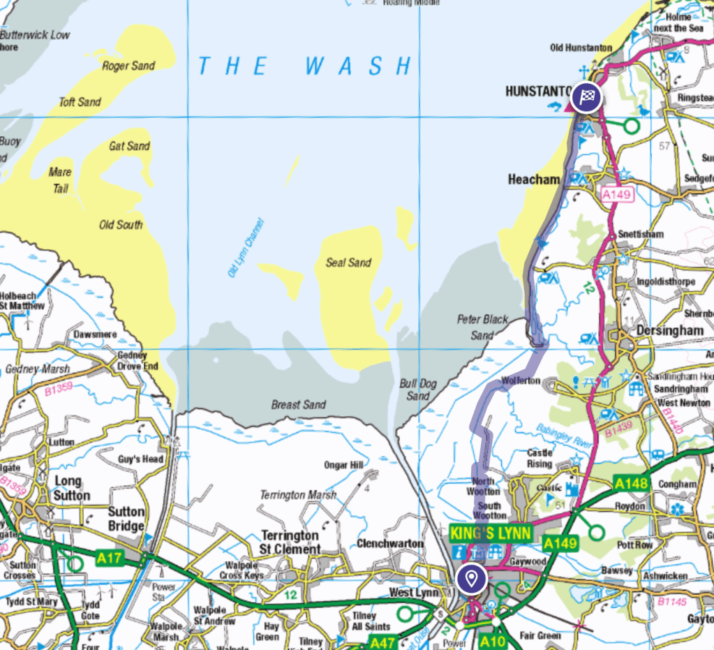
Now, while I completed the Fen Rivers Way when I got to King’s Lynn, I thought it would be nice to come back one day for another day’s walking, to get me to Hunstanton. This was particularly appealing because it’d mean I’d walked from my home in Cambridge all the way to the sea. Admittedly, Hunstanton, some 17 miles from King’s Lynn, is far from the closest bit of sea, but I thought it made sense as a target, being a popular, pretty seaside resort that’d be a nice end point for the walk, and having regular buses back to Lynn itself. By contrast, the closest bits of sea to Lynn, namely the southern corner of the Wash some five miles north of the town, are not very accessible.
I got a seven-thirty train from my home station of Cambridge North up to Lynn, which was delayed in leaving due to an electrical fault, but made up the time by stopping only at Ely and King’s Lynn, skipping Waterbeach, Littleport, Watlington and Downham Market – which suited me fine, though it may have been inconvenient for others. The first couple of miles of my route consisted of walking through the suburbs of King’s Lynn, which was mostly unremakable, though I did encounter a couple of curious features in a little green space off a Kettlewell Lane: there was a very old-looking ruined wall, with buttresses, and next to it a strange long, low brick and concrete structure. I’d think I was in a churchyard, but there were no gravestones.
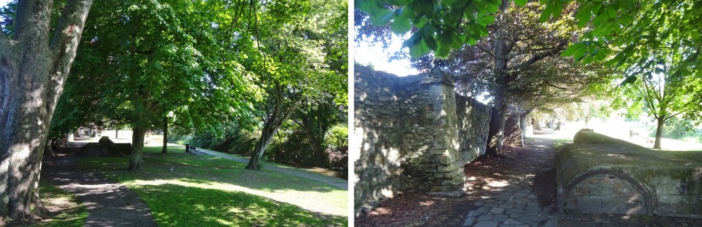
Some research while writing this post revealed that the wall is a section of King’s Lynn’s medieval town wall. The concrete structure, assuming I can trust this random YouTube video, is the top of a mostly-underground a World War 2 air raid shelter, with the entrances blocked off!
When planning this walk, I found that unfortunately there is no reasonably direct off-road route between Hunstanton and King’s Lynn on public rights-of-way – though this will be changing within the next few years when this section of the England Coast Path is completed. My choices were therefore (a) to do many miles of road walking, (b) to do the walk over two days, diverting over 8 miles eastwards to be able to use the Peddars Way Roman road, or (c) taking a more direct route involving a couple of miles of trespassing. I did consider (b), but in the end went for (c) – I’d be sticking to farm tracks rather than doing any potentially damaging walking across fields, so it didn’t seem a particularly unacceptable case of trespass to me.
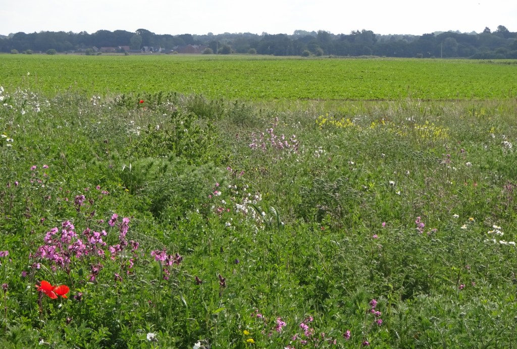
After walking through an industrial park, I left King’s Lynn at first on a very random public footpath that goes right through the middle of several fields for over a mile, before ending abruptly, not connecting up to any other road or public right of way. The day was sunny and the countryside was looking very pretty, and I particularly enjoyed the wide field verges full of wildflowers. From there, the next few miles were a mix of country roads and farm tracks, all very quite, and very sunny!
Unfortunately, for the first time this year, my hayfever kicked in with a vengeance this morning, resulting in me taking a good few breaks to just sit with my eyes closed, and making this section of the walk somewhat unpleasant. However, it cleared up in the afternoon, as I approached the sea. It also helped that, eight hours having passed since breakfast, when I thought I’d taken my last one, I was soon able to take my next dose of fexofenadine, my current hayfever medicine of choice, which I discovered on the recommendation of a colleague recently, and find noticeably better than the acrivastine I was taking previously, itself already way better than the cetirizine I used before that! (When I got home that evening I discovered I’d actually forgotten the morning’s dose, explaining the severity of my symptoms.)
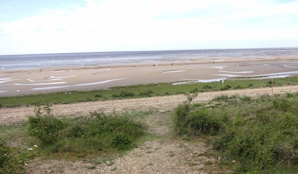
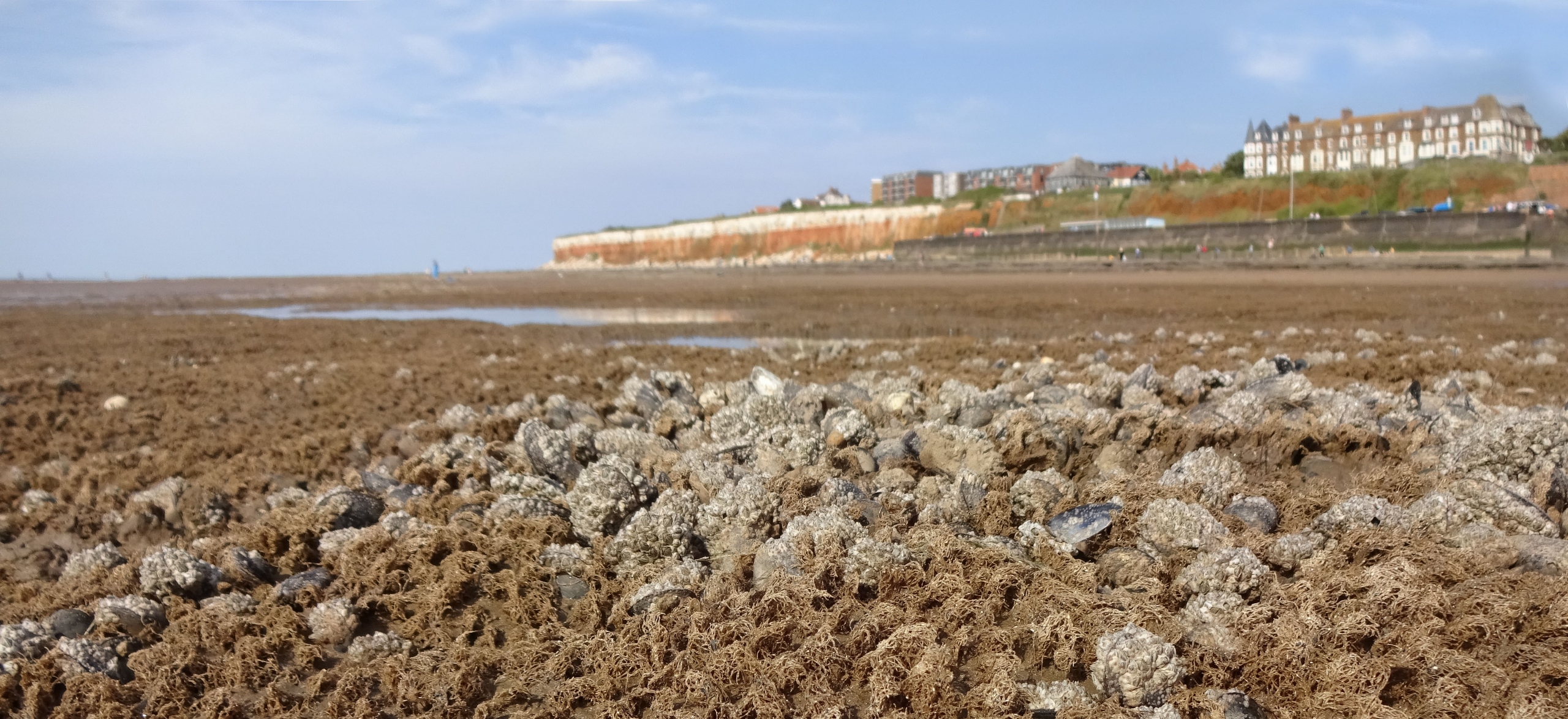
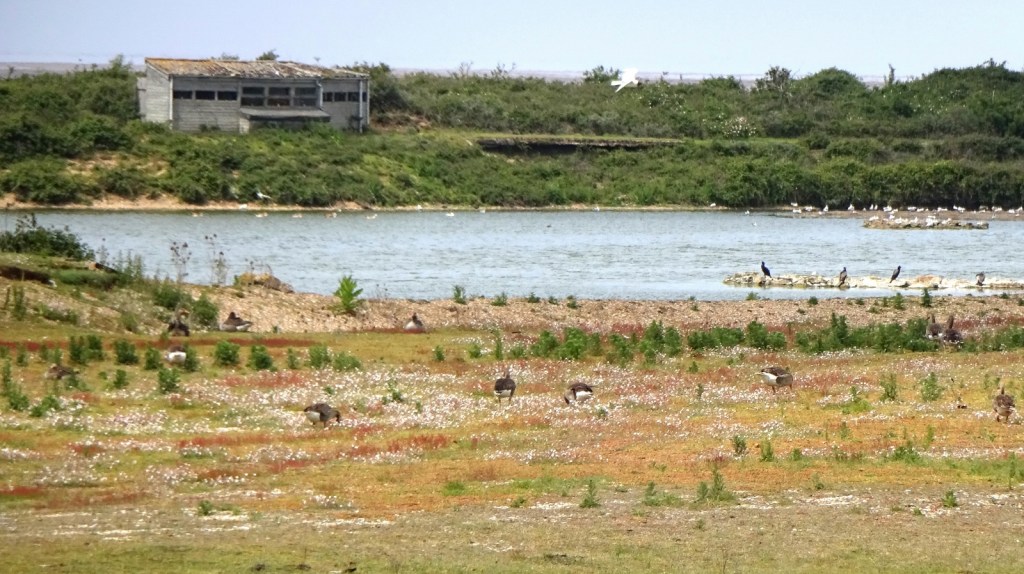
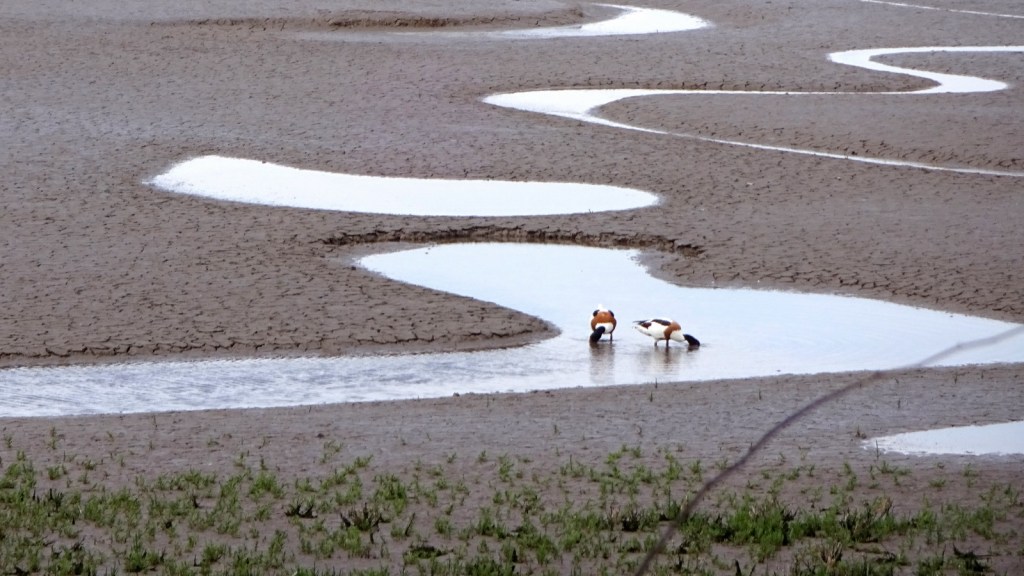
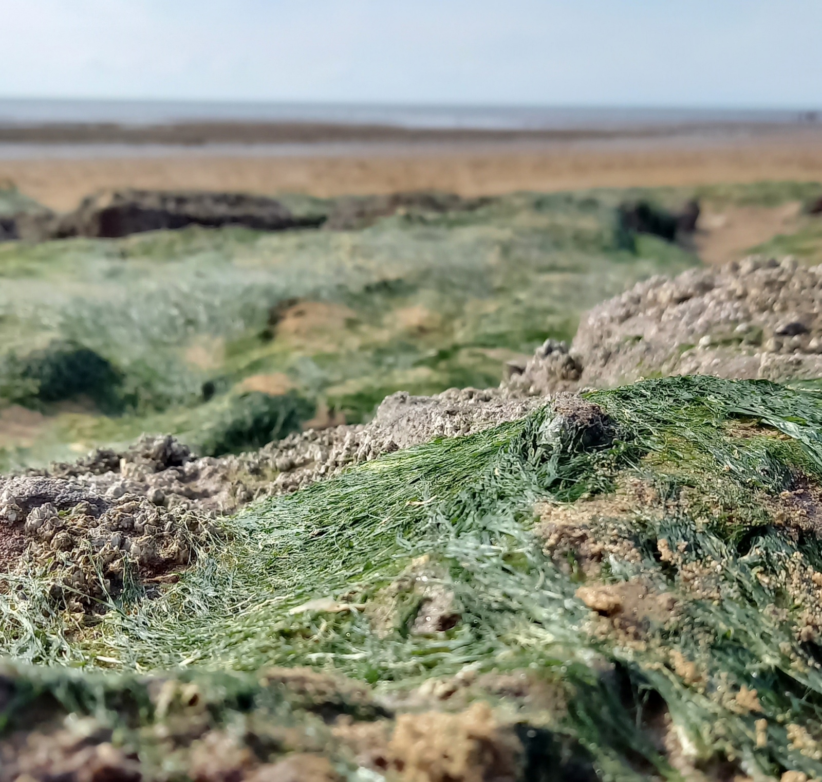
The farm-tracks section of my walk ended as I reached RSPB Snettisham, and reached my goal for the last few months of having walked from Cambridge to the sea! I rewarded myself for this accomplishment by sitting down to eat my packed lunch. It wasn’t the most dynamic of sea views, since, the tide being out, there were several miles of mud between me and the water, but it was still satisfying!
From the nature reserve, the rest of my walk directly followed the coast, taking me past Snettisham caravan park and the seaside resort of Heacham, mostly walking along the sandy beach. It being a bank holiday Thursday at the start of the four-day Platinum Jubilee weekend, the beaches were full of people enjoying themselves, and most of the second-home beach houses that line the three miles or so of coast between Heacham and Hunstanton were open and occupied. I even passed a couple of Jubilee tea parties, flags flying and music blazing!
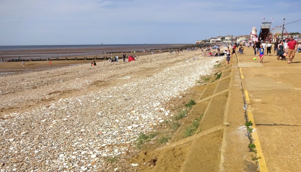
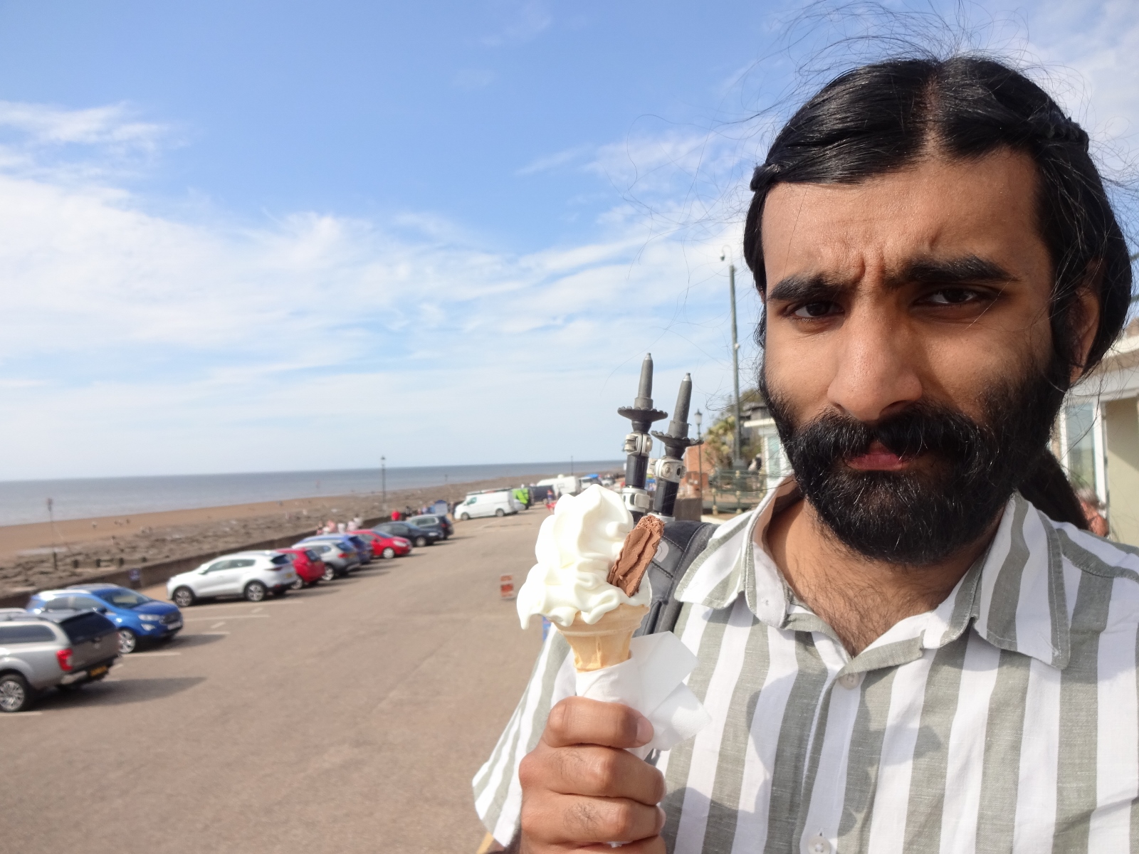
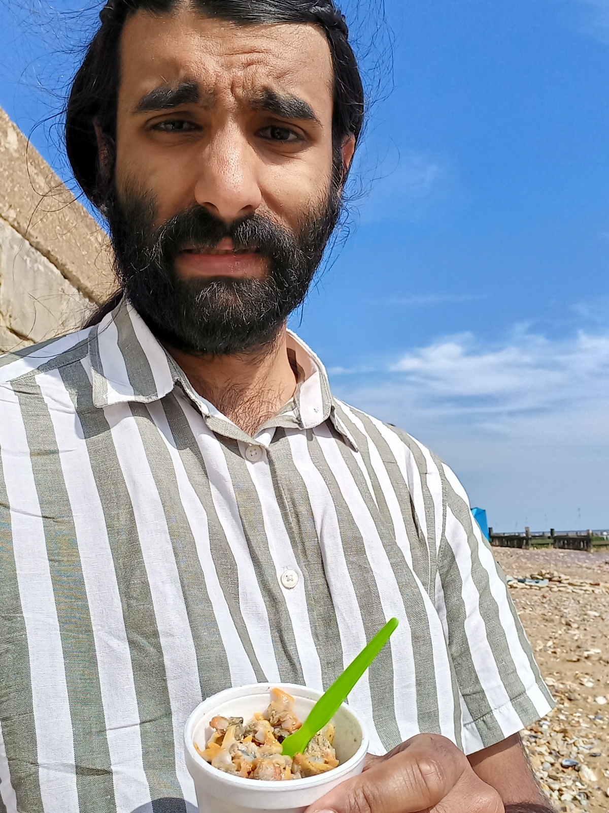
I arrived in Hunstanton at around 4:30pm, and had a wander around on the beach and promenade, experimentally getting myself a pot of cockles from a seafood stall – they were… fine, though they didn’t really taste of a lot without seasoning – and later an ice-cream. I went for a wander around on the beach, and admired the famous red-and-white cliffs beyond the town.


And that’s it! After a short while of exploring Hunstanton, I caught one of the regular Lynx buses back to King’s Lynn, and the train back home from there. I was glad to have the rest of the long weekend to relax after my long walk!
Previous visits
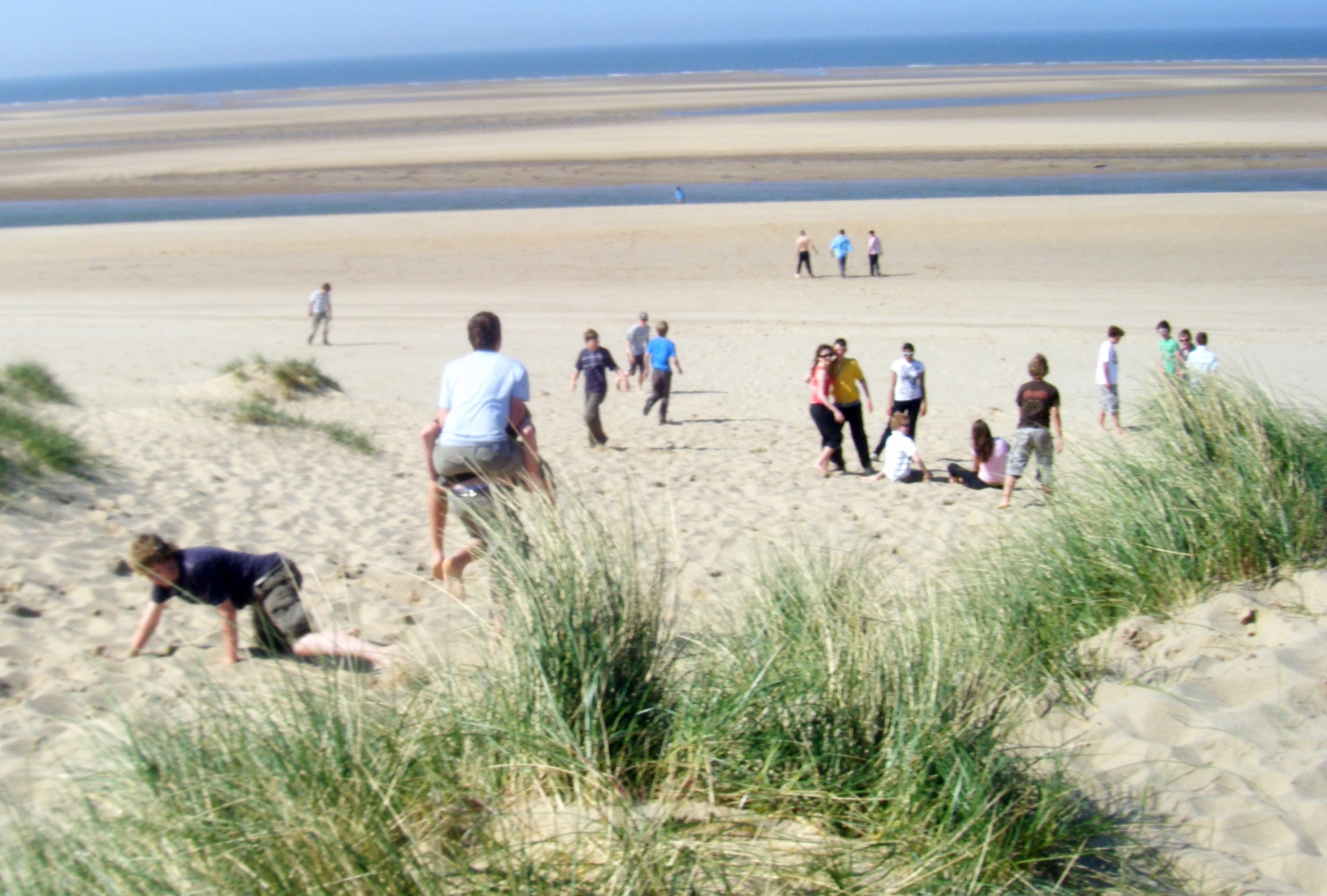
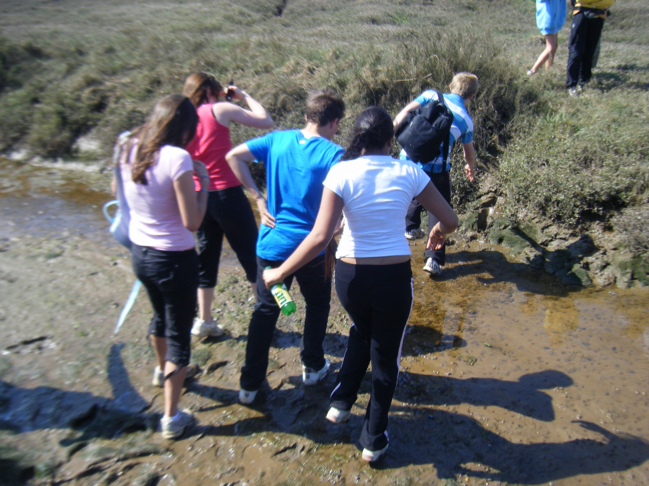
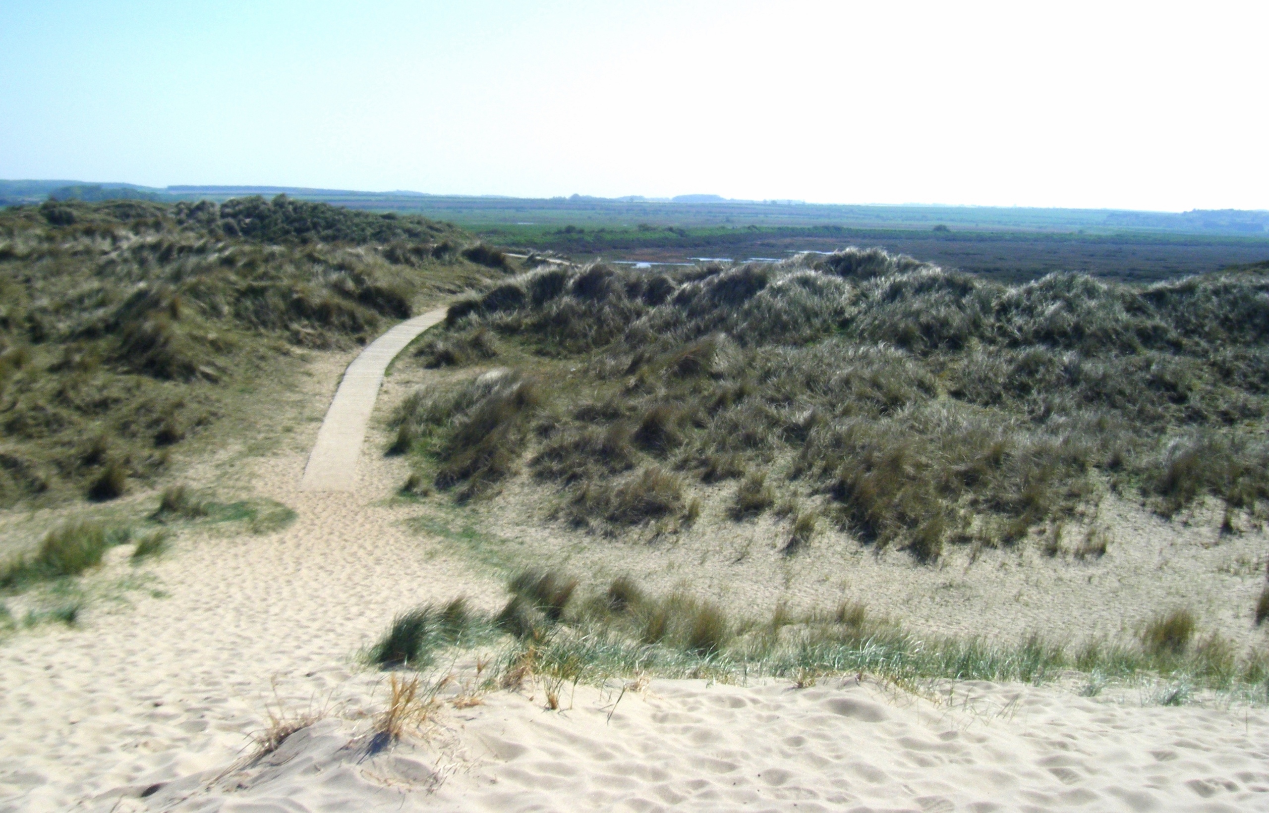
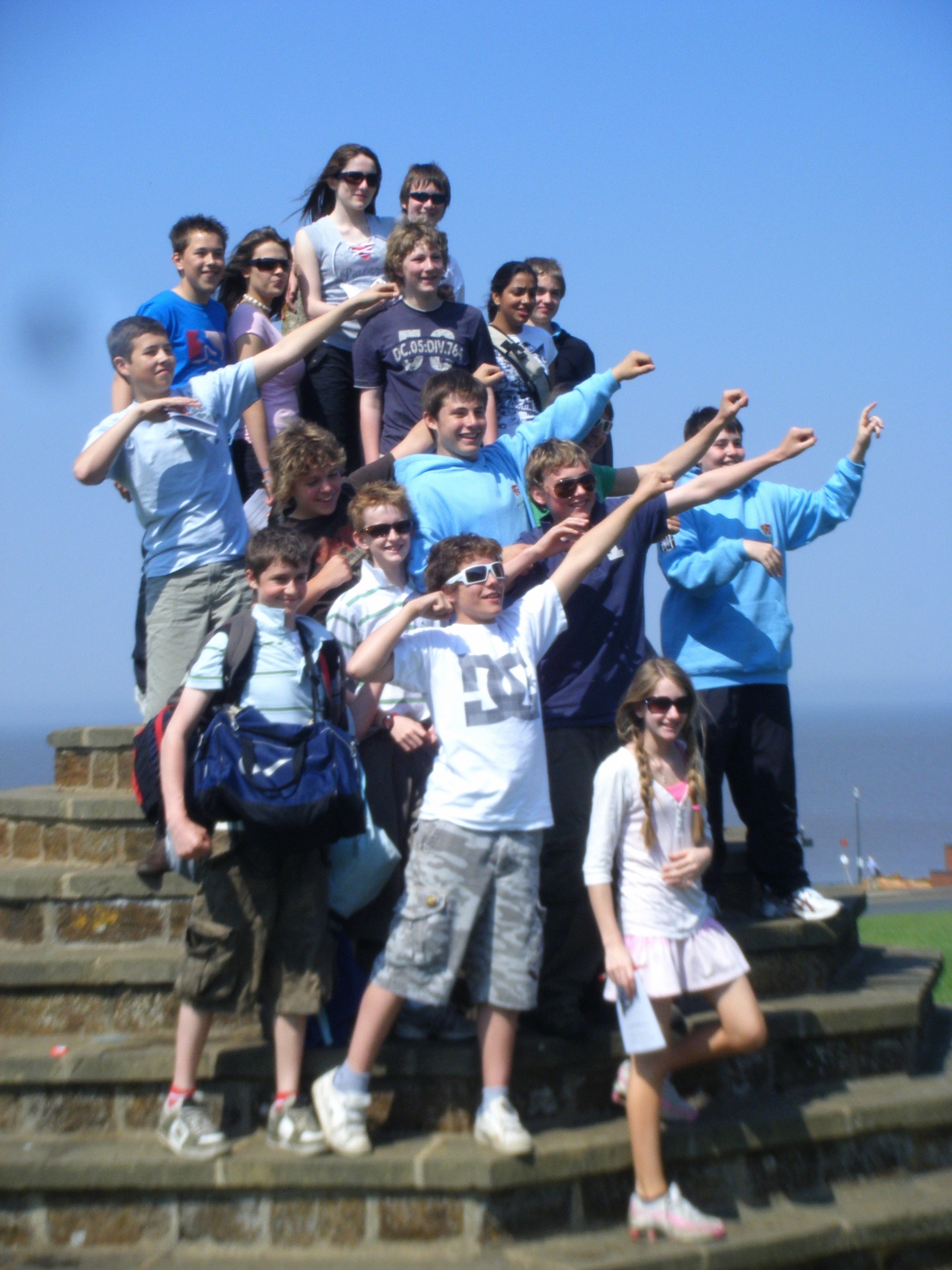
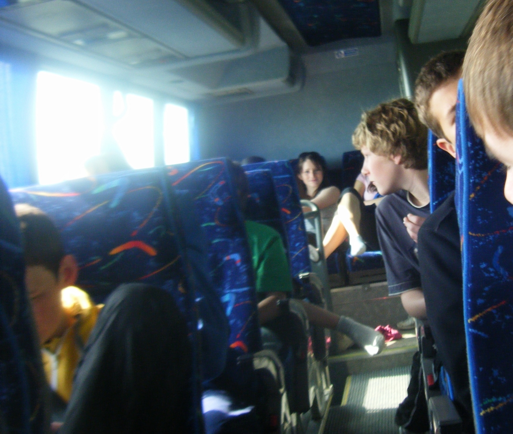
I’ve been to this map area once before, in May 2008, on a year 9 school geography trip. I don’t remember particularly much about this trip beyond a great deal of messing around on sand dunes, but I do have a reasonable number of photos – it looks like we were in the town itself for a while, before going on some kind of walk across a marshy area to some sand dunes, I assume to appreciate something geographical! From looking at the map, I assume this was the area of dunes and grassland to the north of Old Hunstanton, a couple of miles further north of where I reached on my recent walk.

[1] I arrived in Downham Market at the end of my walk there from Littleport, on Saturday 11th December. This was the first time I’d visited the place, and as mentioned in the main text, I really enjoyed it. However, in the end, I ended up returning to Downham Market just a few days later, on the following Thursday – and not to continue my walk, but to get my coronavirus booster vaccine dose!
The reason for this is that the booster vaccine was opened to my age group just a few days before, and I went on the booking website the very first morning; however it turned out that there were no slots available in Cambridge, or the other nearby centres it showed up based on my postcode, for several weeks. Given this, I ended up entering postcodes for various other nearby towns – Stevenage, Bury St Edmunds – with initially no luck, but when I entered a King’s Lynn postcode, I was pleasantly surprised to find plenty of slots available every day that week in Downham Market Town Hall! I booked, and ended up telling several other Cambridge-based friends who did the same thing: given that it’s only 40 minutes on the train and a short walk from the station to the centre, it turned out to be a good option for many of them.

One thought on “250: Hunstanton”