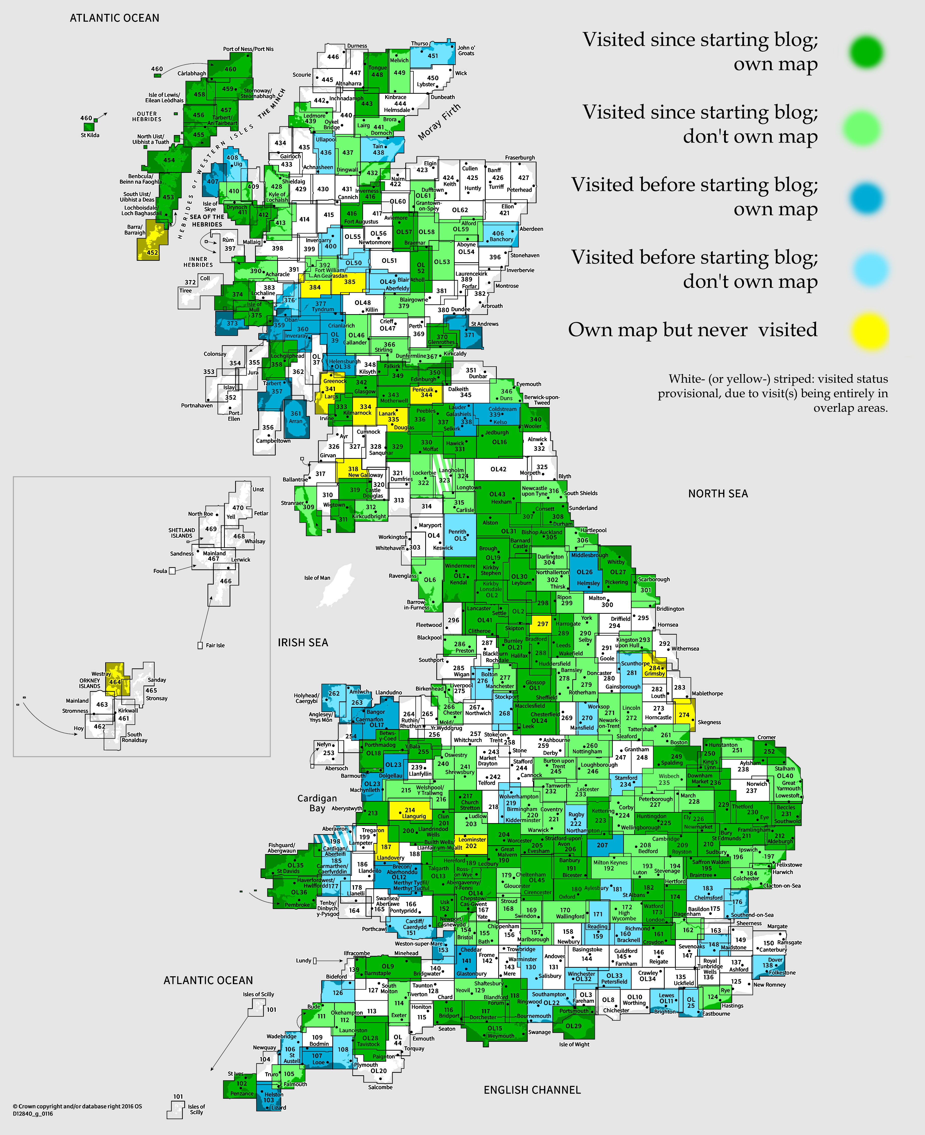
OS Explorer map 154, Bristol West & Portishead: Congresbury & Chew Magna – I do not own this map, and had not visited it before starting this blog. Visited for this post 20th December 2025.
Map area link. Google Maps location links: Chepstow, Severn Tunnel Junction
Intro
Regular readers will know that I enjoy doing long, connected walks. Sometimes this is a trip away for several days’ connected walking (e.g. this one), but more often is piece-by-piece, i.e. doing a day’s walking and then, on some future date when I next feel like it, coming back to the the same point and continuing from there, gradually building up a line across the map. You can see my walks so far on my map of walks.
It’s a couple of years ago now that I last wrote about such a walk, namely this post about the walk I did over three days in September 2023 to February 2024, from my parents’ Northamptonshire home to my then-home in Moreton-in-Marsh. Since then I’ve done a fair bit more of this kind of walking, that’s just escaped being posted on the blog due to being entirely in map areas I’ve posted about before. Roughly I’ve done three routes (again, all visible on the map of walks):
- From Oxford (where I work) to Moreton-in-Marsh over 4 days with Vesper; later extended to Broadway and Pershore
- I actually moved house again in March 2026, and now live in Eynsham, Oxfordshire, which Vesper and I walked through on the first day of this route!
- This is finished. I could extend it at either end in future, e.g. continuing from Pershore out towards Worcester, Malvern, Hereford and into Monmouthshire or the Brecon Beacons. Or perhaps to Oxford from London, to match my past London-Cambridge walk.
- A circle around Moreton, now finished, roughly running Shipston-on-Stour → Chipping Campden → Winchcombe → Bourton-on-the-Water → Chipping Norton → back to Shipston
- Continuing the Northamptonshire-Moreton route to Cheltenham, Gloucester, the Forest of Dean, and entering South Wales at Chepstow.
- I’d say this is the one I’m most actively working on, in that I’d like to continue along the South Wales coast for at least a while. As far as Cardiff should be easy transport-wise. It could be nice to get into some of the good bits of coastline further on, e.g. even to the Gower or into Pembrokeshire, but that’d be out of easy day-trip range.
- (That said, now that I live in Eynsham, I might start something new – either the London-Oxford route mentioned above, or something along the Chilterns or the Ridgeway)
I came to this map area as the most recent walk I did as part of #3 above, about 11 miles continuing west from the border town Chepstow, along the first section of the Wales Coast Path until I broke off at the end to get to Severn Tunnel Junction railway station.
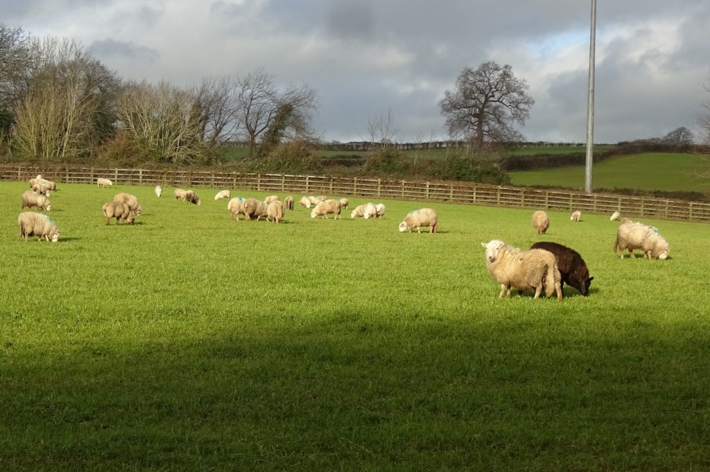
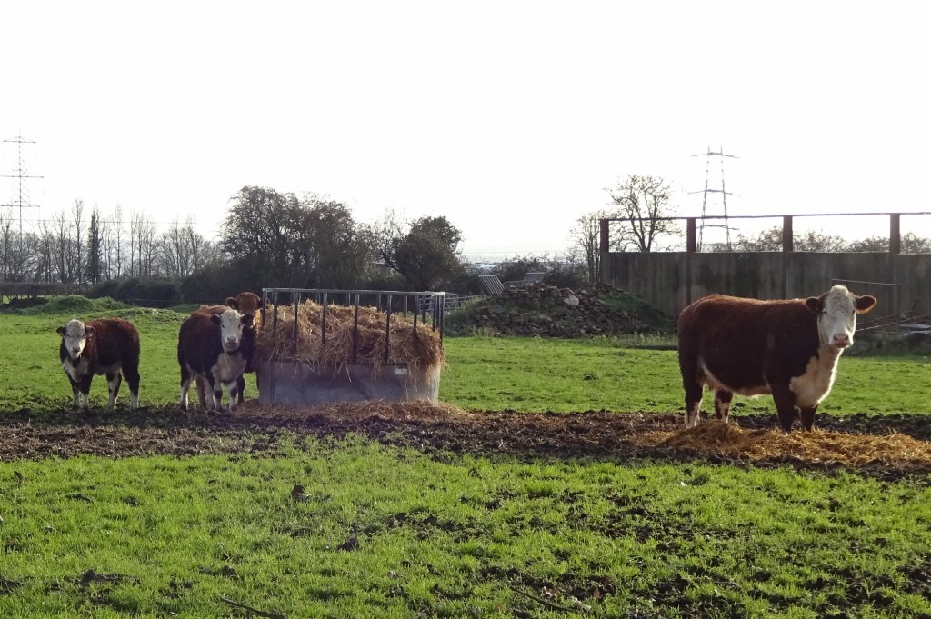
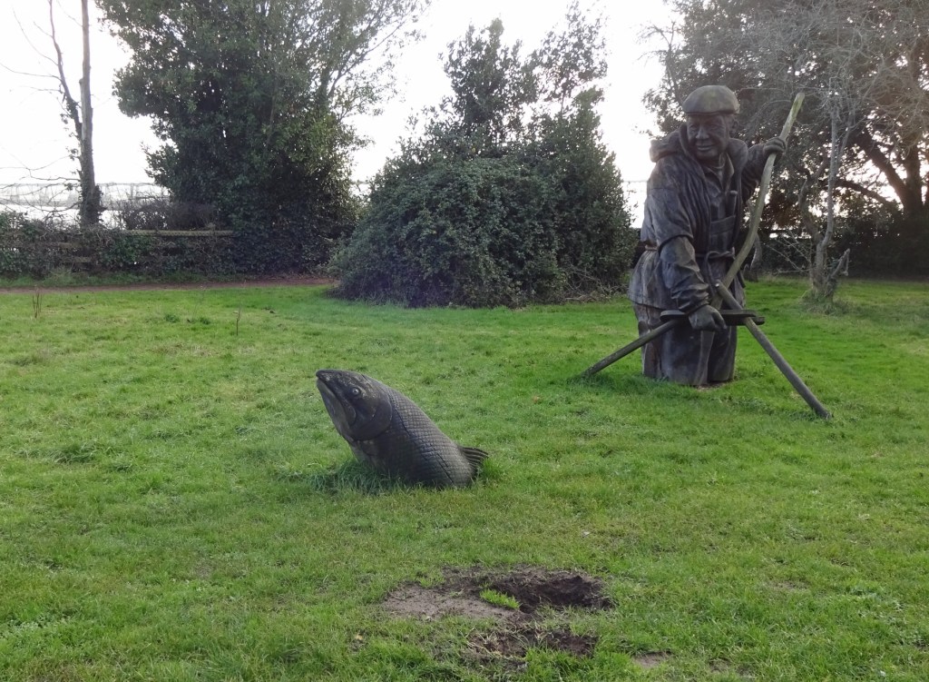
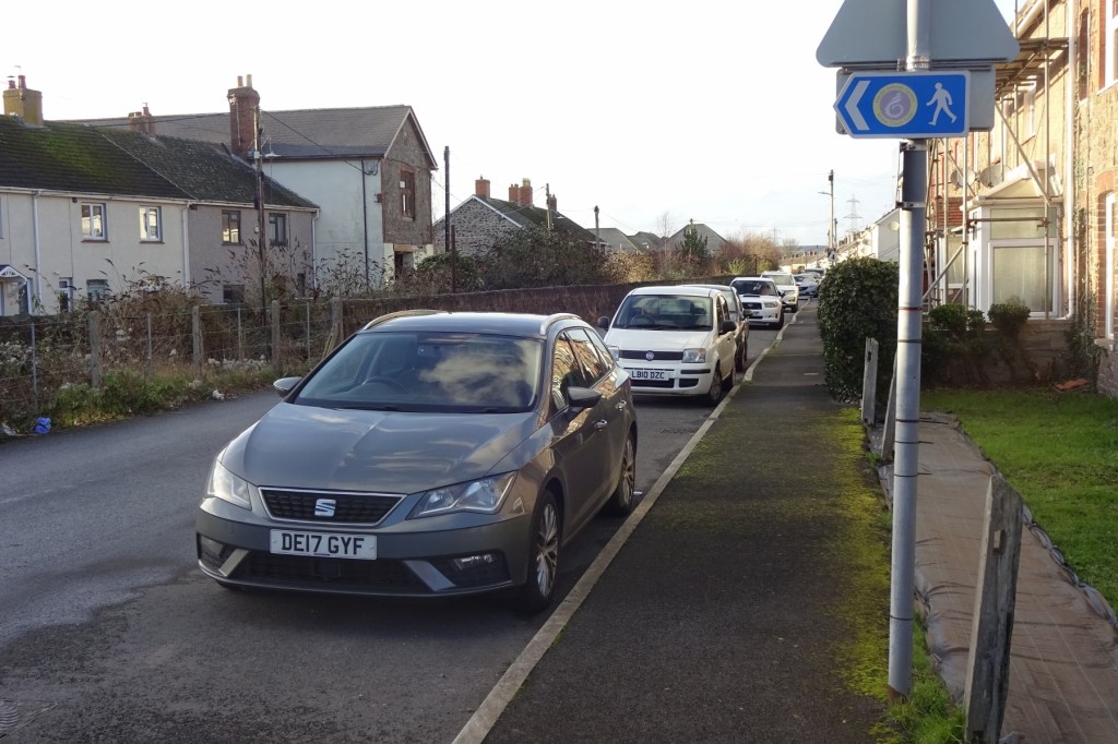
To start off though, here’s a handful of pictures from earlier parts of that long-distance route, between Moreton and Chepstow!
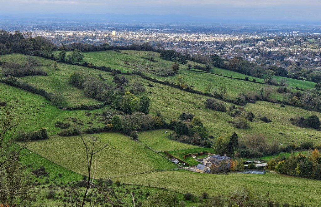
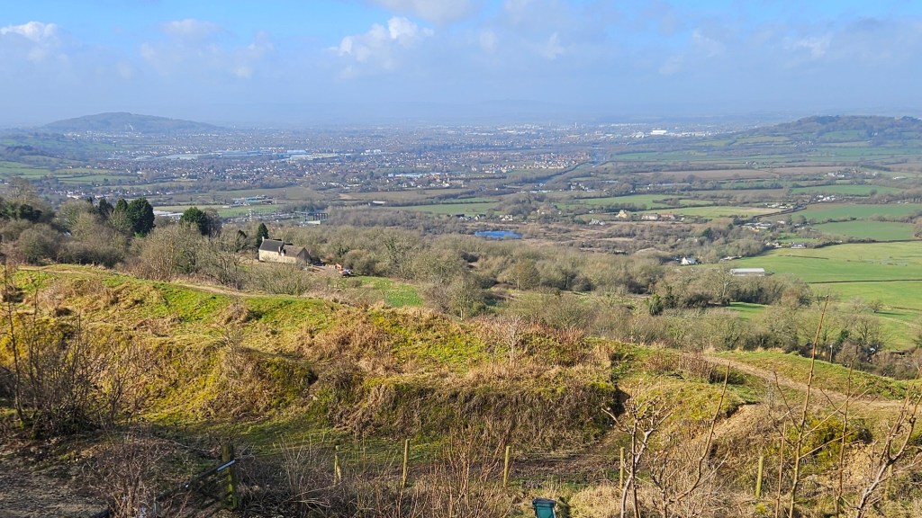
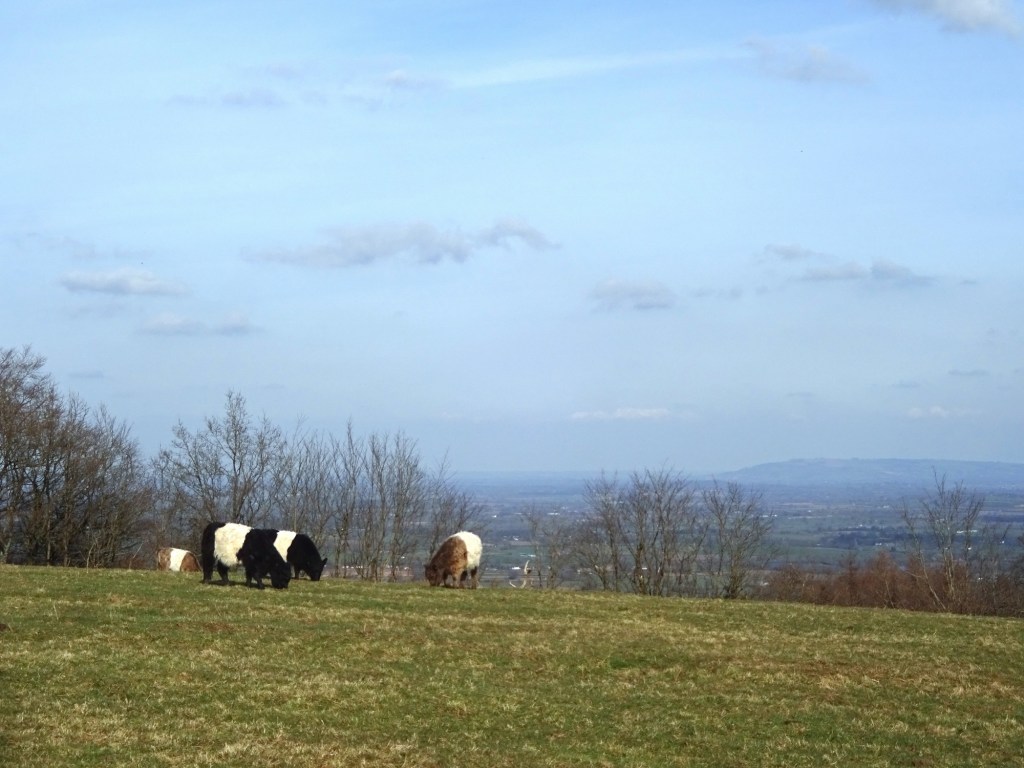
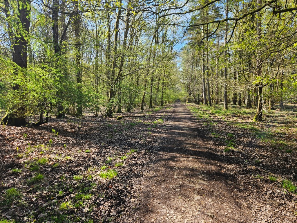
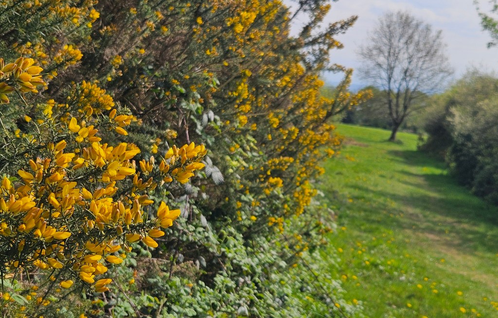
One thing that felt surprising to me is just how big and varied Gloucestershire is! I lived in Moreton-in-Marsh, which is just at the northeast corner of Gloucestershire, and feels well in the middle of England to me; looking as much towards Birmingham, Oxford or Banbury as to Gloucester or Worcester. Crossing Gloucestershire took me five days’ walking (85 miles, though more like 50 as the crow flies), and at the other end of it, I was in Wales! Gloucestershire isn’t even an unusually big county, but somehow feels like it crosses a lot of conceptual distance.
A further note: this map area is titled “Bristol West and Portishead”, and indeed (map area link) mostly covers Bristol, i.e. over on the other side of the Severn Estuary. However, I visited only the far northwestern corner, which covers a small patch of the Welsh side of the Estuary.
The fact I’ve never visited this map area before indeed means that, somehow, I’ve never been to Bristol! Or at least, not properly enough that I’d post about it on the blog – I have changed trains there, and once met up with Alcove Gremlin in a café just outside the station – despite it being one of our biggest cities, and me having visited 59.6% of the 403 Explorer map areas, every UK national park, and I think 46 out of the 48 ceremonial counties of England (all but Surrey and Bristol). On this list of UK conurbations, in the top 20, there are actually a fair few I haven’t visited: five I haven’t visited at all, namely Belfast (#12), Brighton (#15), Bournemouth/Poole (#16), Stoke-on-Trent (#20) and Southampton/Portsmouth (#7); plus Bristol at #11 which I’ve visited only marginally. One day!
This trip
I returned to Chepstow for this walk on Sat 20th December 2025, leaving Moreton at about 7:30am, changing at Worcestershire Parkway and Cheltenham, and arriving in Chepstow at around 9:20am. I’d previously reached Chepstow back in April, at the end of a monster 22-mile day of walking from Cinderford, so was rather tired and had just got straight on my train home; but with only some 11 miles planned today, I had time for an explore first!
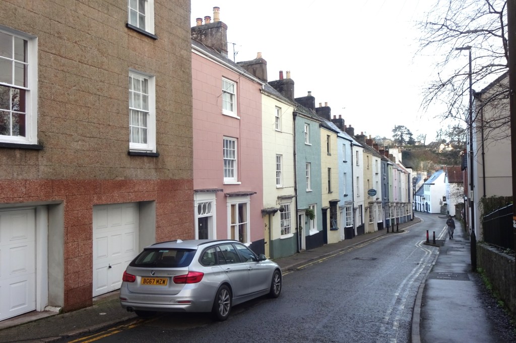
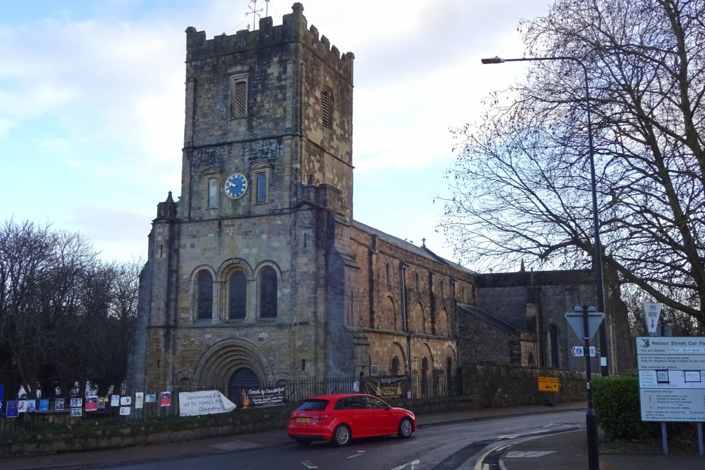
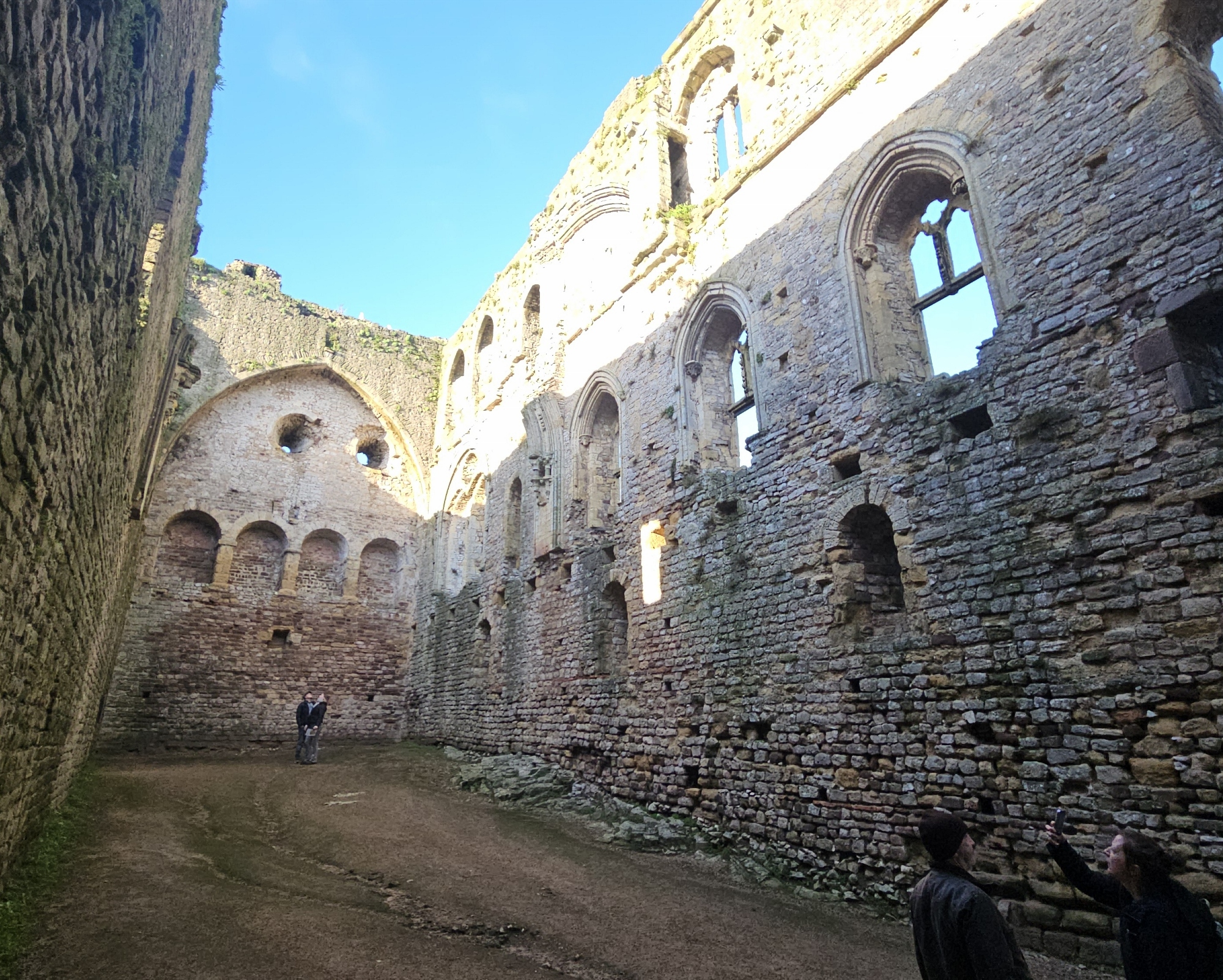
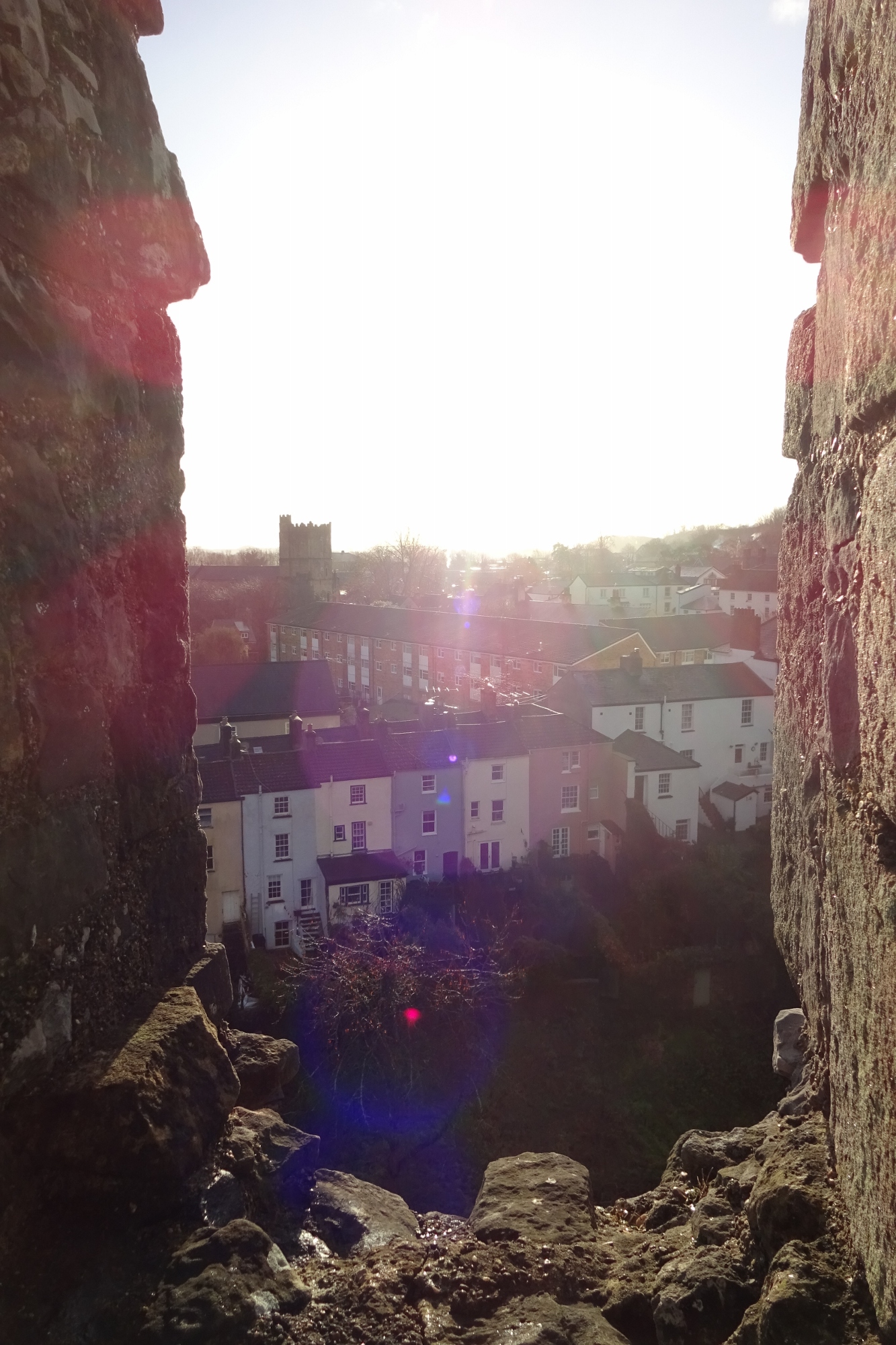
It’s a pretty town, sitting at the mouth of the River Wye, and dominated by the very impressive Chepstow Castle. I first had a brief wander around town. The Church of St Mary, a survivor of the priory founded in the late C11th alongside the castle, was unfortunately closed, but I had a look from the outside; it has a great Norman doorway.
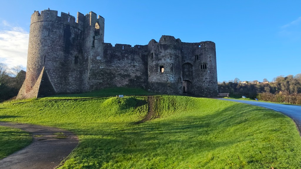
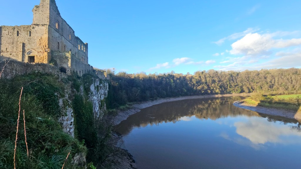
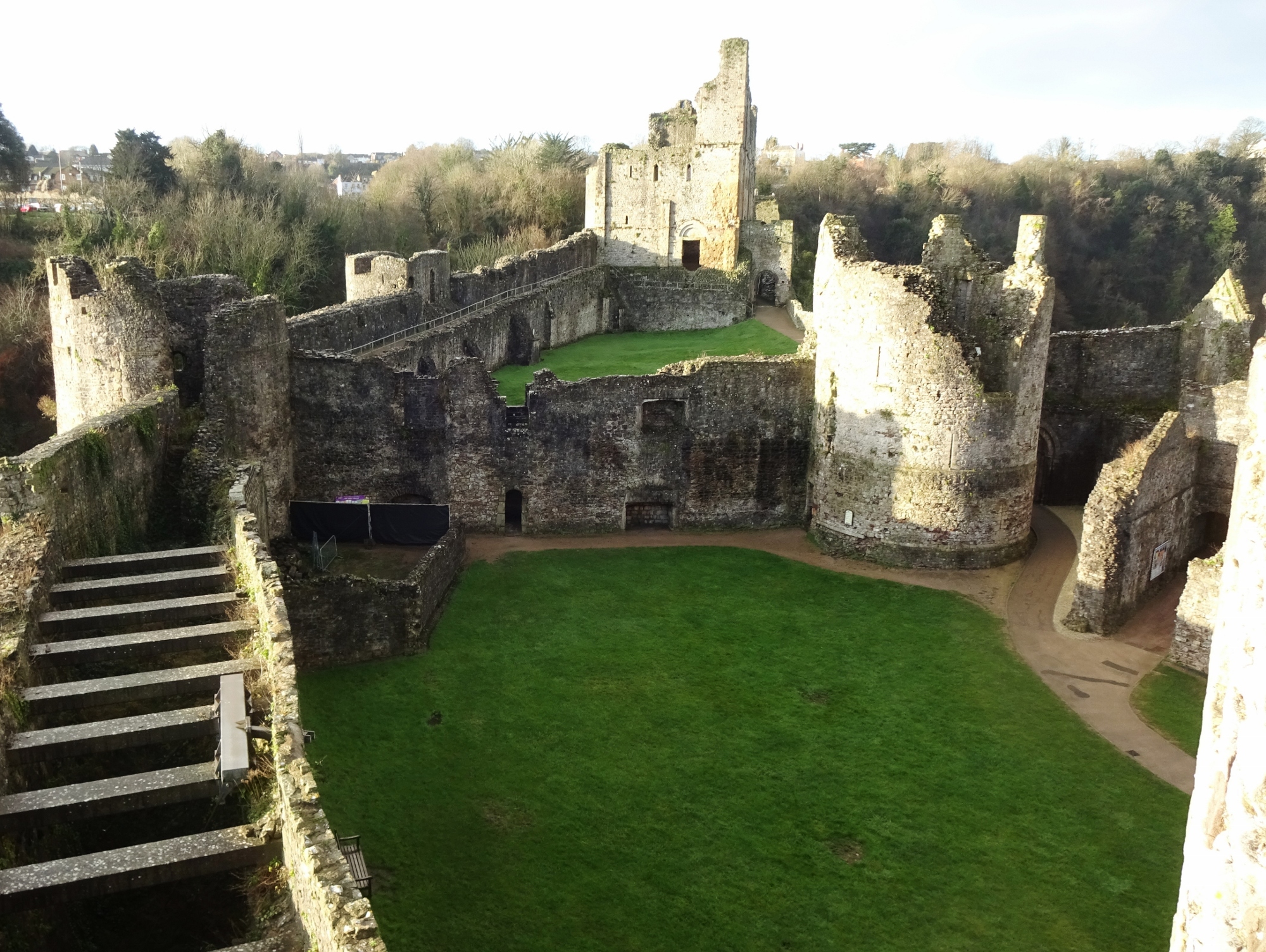
Following that, I went into the Castle itself. It’s just an excellent castle! Ruined, but with intact outer walls and a lot of remaining structure to explore. And in a very dramatic location, sitting high above the river.
After a good stint of exploring the castle, I started on my walk proper, following the Wales Coast Path south through Chepstow suburbs, paralleling the Wye.
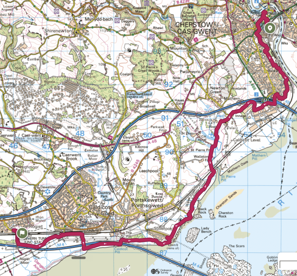
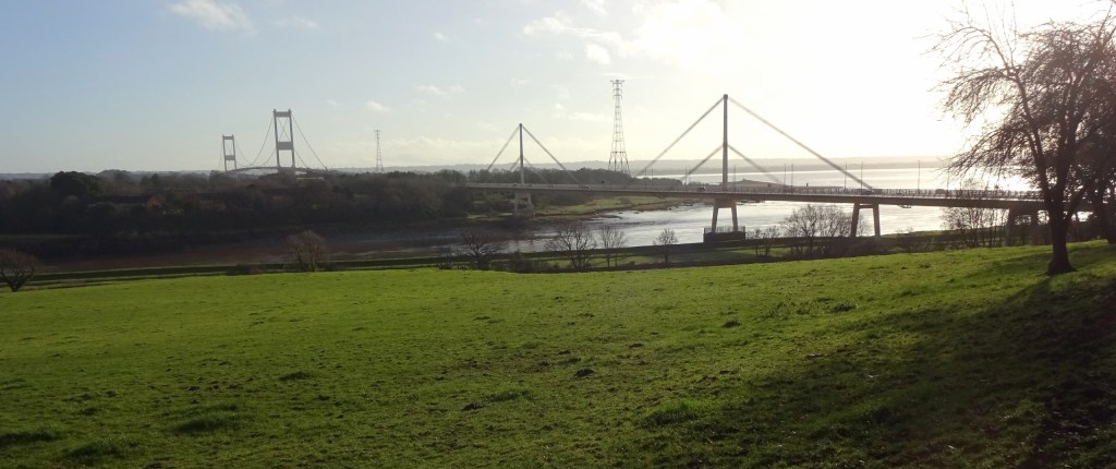
My route for the day would be dominated by two giant road bridges that were in view almost the whole time: the mile-long 1966 Severn Bridge, which crosses both the Wye and the Severn Estuary just before they join; and the three-mile-long 1996 Prince of Wales Bridge crossing the Severn further south. And I’d also pass over the railway equivalent, the Severn Tunnel, just before the latter.
The route exiting Chepstow was pleasant, through quiet suburbs, little wooded areas, and some open green space looking down on the river. Passing under the Severn Bridge, I had a small industrial area to pass through, but was then into open countryside.
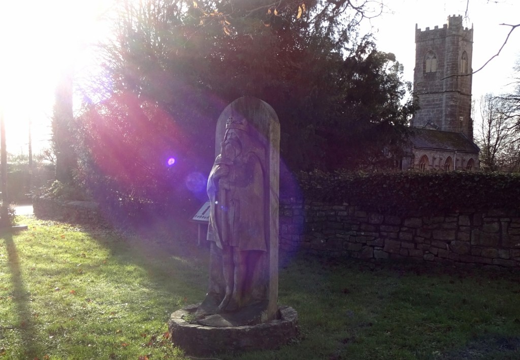
Just after the industrial park came the village of Mathern, whose church is dedicated to the very local St Tewdrig, a local C6th king. There was a jolly wooden statue of him outside the church, and a fun interpretation board telling his story, with a map pointing out all the local places mentioned.
After Mathern, it was some more countryside, before coming back to the waterside, the Prince of Wales Bridge looming bigger all the time. Shortly after Mathern is also when I actually entered this map area, having before that still been in OL14, the Wye Valley / Forest of Dean map, which I posted about in 2022.
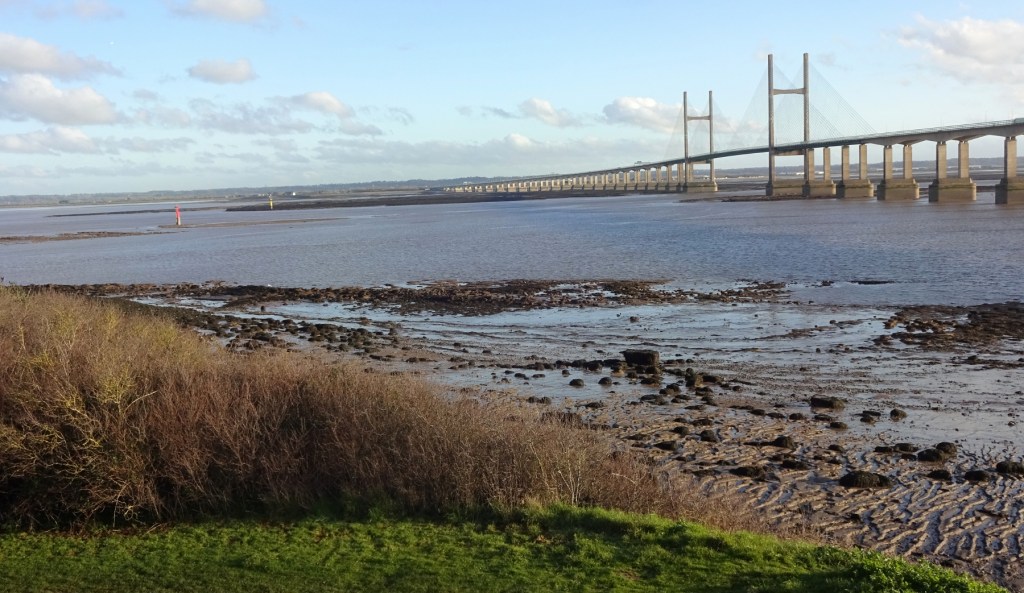
Although I don’t think it’s fully clear where one would say the Severn becomes the sea – it’s tidal almost all the way up to Gloucester, and I’d walked alongside tidal parts of it earlier, but which were still not very wide at all – I’m happy saying that at this point, I’d finally reached the sea. Which is very fun, since it means I’ve walked from my parents’ house, which is almost as far from the sea as it’s possible to get in England, via my own home in Moreton, to the coast! Since I’ve walked from Cambridge to Hunstanton, I just need to fill in the four days or so between Cambridge and my parents’ house to have walked a full coast-to-coast route – albeit not all in the same direction. Maybe sometime soon!
I soon entered Sudbrook, which is a new village sitting directly above the Severn Tunnel. It was built for tunnel construction workers in the late C19th, and there’s a giant old pumping station for the tunnel in the middle of the village.
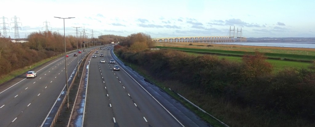
And just after Sudbrook, I finally passed the Prince of Wales Bridge – not going under the bridge, but instead crossing the M4 motorway on a pedestrian overbridge, just past one end of the Bridge itself.
And that was it, roughly! My last couple of miles took me a little way along sea wall – as I understand most of the Coast Path towards Cardiff is – before leaving the Coast Path to head inland to Severn Tunnel Junction station.
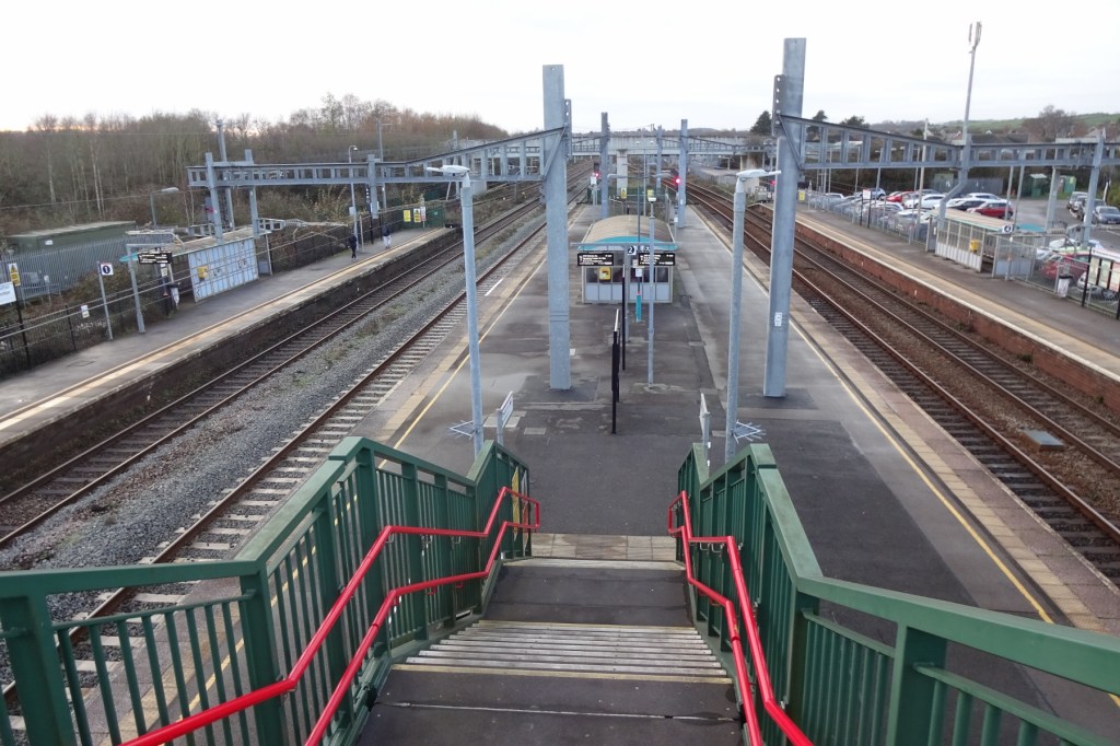
The station is, as the name suggests, at the junction between the South Wales Main Line (London-Bristol Parkway-Newport-Cardiff-Swansea) and the smaller Newport-Gloucester line, just before the former enters the Severn Tunnel. I boarded a train on the latter route, and headed home!
A good day. We’ll see if I end up returning to continue it anytime soon! Now that it’s late May, my walking season is nearly over. I really don’t like heat, so I rarely walk in southern England or Wales in June-August, and it’ll likely be September or later that I pick it up again, if I decide to continue with this route at all. But you never know, there might be a nice cool weekend!