OS Explorer map 193, Luton & Stevenage: Hitchin & Ampthill – I do not own this map, but had visited before starting this blog. Visited again for this post 10th February 2024. Google Maps location links: Luton Airport, Dunstable Tesco, Five Knolls, Totternhoe, Wing, Chalgrave, Bedford Regular readers may be familiar with my group of … Continue reading 193: Around Dunstable
Tag: cambridge people
201: Knighton
OS Explorer map 201, Knighton & Presteigne: Kington & Hay-on-Wye – I own this map, and had visited it before starting this blog. Visited again for this post 4th October 2023. This is the second of three posts about my walking trip in Wales and Shropshire from 3rd-5th October 2023. Google Maps location links: Knighton, … Continue reading 201: Knighton
225: Histon & St Ives
OS Explorer map 225, Huntingdon & St Ives: Graffham Water – I own this map, but had not visited it before starting this blog. First visited 25th June 2018. Google Maps location links: Histon, Rampton, Northstowe, St Ives This post is a little unusual. So far, every entry on this blog has been posted in … Continue reading 225: Histon & St Ives
OL35: St Davids & North Pembrokeshire
OS Explorer map OL36, North Pembrokeshire – I own this map, but had not visited it before starting this blog. Visited for this post 22nd July 2022. Google Maps location links: Square & Compass, Abercastle, St Davids My previous post told you of the beginning of my holiday to Pembrokeshire with my friends Cheremy, Queenie, … Continue reading OL35: St Davids & North Pembrokeshire
OL36: Tenby & Llawhaden Castle

OS Explorer map OL36, North Pembrokeshire – I own this map, but had not visited it before starting this blog. Visited for this post 22nd July 2022. Google Maps location links: Bridgend, Tenby, Llawhaden Castle, Square & Compass I came to this map area on a short holiday to Pembrokeshire with my friends Cheremy, Queenie, … Continue reading OL36: Tenby & Llawhaden Castle
437: Strathpeffer
OS Explorer map 437, Ben Wyvis & Strathpeffer: Dingwall – I do not own this map, and had not visited it before starting this blog. Visited for this post 3rd April 2022 Google maps location links: Peterborough, Edinburgh, Inverness, Clava Cairns, Eagle Stone Regular readers will be well familiar with the Isle of Harris in … Continue reading 437: Strathpeffer
OL13: White Castle & Brecon Beacons East
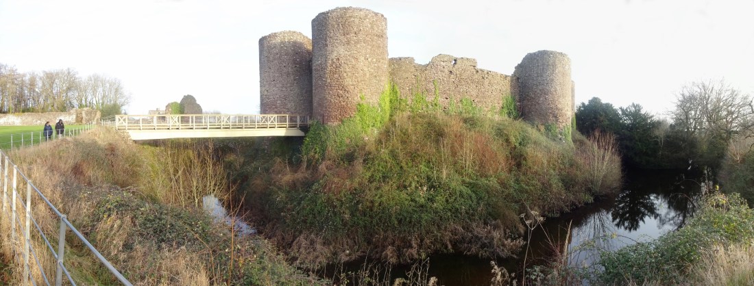
OS Explorer map OL13, Brecon Beacons National Park: Eastern Area – I own this map, and had visited it before starting this blog. Visited again for this post 29th December 2021. This is the second of three posts about my trip to the Wye Valley with the Dearest Progenitors. Google Maps location links: White Castle, … Continue reading OL13: White Castle & Brecon Beacons East
288: Bingley
OS Explorer map 288, Bradford & Huddersfield: East Calderdale – I own this map, and had visited it before starting this blog. Visited again for this post 16th August 2021. Google Maps location links: Milner Field As regular readers may know, when driving to and from distant parts of Britain, where possible I like to … Continue reading 288: Bingley
OL21: the South Pennines (around Haworth)
OS Explorer map OL21, South Pennines: Burley, Hebden Bridge, Keighley & Todmorden – I own this map, but had not visited it before starting this blog. Visited for this post 12th August 2021. I came to this map area for for a short-ish holiday with my friends Erithacus, Vesper and Millicent. As regular readers may … Continue reading OL21: the South Pennines (around Haworth)
308: Durham
OS Explorer map 308, Durham & Sunderland: Chester-le-Street & Peterlee – I own this map, and had visited it before starting this blog. Visited again for this post 8th May 2021. Google Maps location links: Durham, Langley Park, Hill Top, Bearpark As you'll know from my last few posts regarding my trip down to Dorset … Continue reading 308: Durham
