OS Explorer map 201, Knighton & Presteigne: Kington & Hay-on-Wye – I own this map, and had visited it before starting this blog. Visited again for this post 4th October 2023. This is the second of three posts about my walking trip in Wales and Shropshire from 3rd-5th October 2023.
Google Maps location links: Knighton, Newcastle-on-Clun, Hay-on-Wye, Gladestry, New Radnor
My previous post ended with my extremely early departure from Llandrindod on an 0550 train to Knighton – as the next one was a long while later – in order to start my couple of days’ walking northward through Shropshire and Wales, mostly on the Offa’s Dyke Path. After a half an hour’s trip with the train to myself, I arrived in Knighton, and headed into town to wait for half an hour for the Co-op’s 7am opening time (and for the sun to come up).
I’d wisely bought my food for the trip the previous day, so hoped to be able to avoid the Co-op stop and consequent wait, but I realised I needed a bigger water bottle: I had three 500ml bottles with me, which would be fine capacity-wise for a full day given I was in rainy Wales, with streams all over the place, and had plenty of water puriifying tablets with me – however ideally the tablets are used with a litre of water at once, and while they’d be fine for 500ml, it’d make their unpleasant taste even more intense, so would be best avoided!
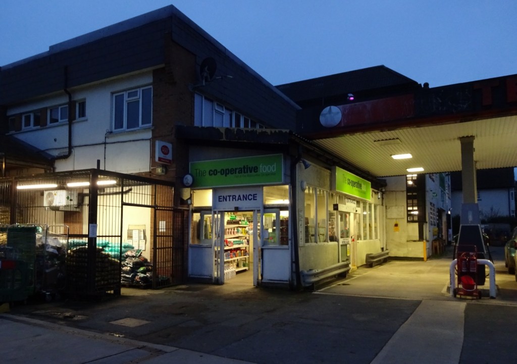
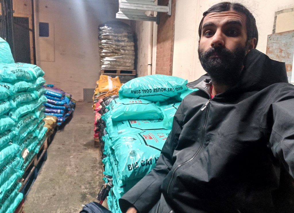
Arriving at the Co-op in question, I found it to be part of a petrol station, and I plonked myself down on a pile of bags of compost to wait. When it opened though, the Co-op revealed itself to contain wonders: it looked tiny from the outside, and yet not one, not two, but four times it revealed itself to be much bigger than I thought, opening up from the previous space into a much bigger one again and again – once I’d got to the end, I realised it was a fully superstore-sized place, with not only a big groceries hall with ten or so aisles, but an equally big hall full of cookware, garden furniture, tools, clothes and much more!
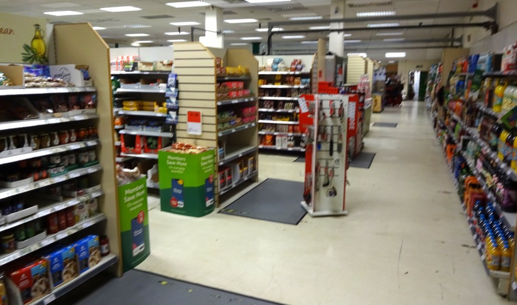

Apparently the petrol station end is just one entrance, with another one from its large car park that leads more directly into the big space.
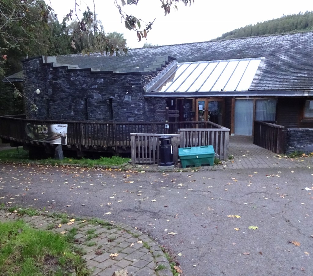

Knighton itself was very pleasant, and upon leaving the co-op I popped into another little place and bought a Greggs-esque vegetable bake for a snack, it having already been a couple of hours since breakfast despite it being only a little past seven! The Offa’s Dyke Path visitor centre was closed this early in the day, so I didn’t get to visit it, but I was soon out of town, and after a short period in a flattish riverside meadow and crossing the railway line, I was off up into the hills!

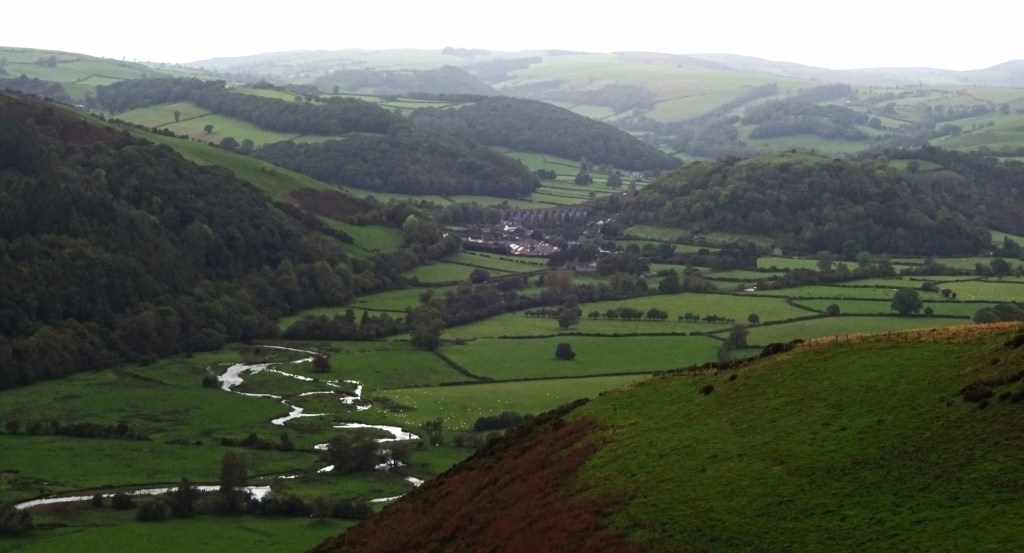
My plan for the day was to follow the Offa’s Dyke Path for ten or so miles northwards, before breaking off north-eastwards towards the flat-on-a-farm Airbnb I’d booked for the night. The area is very hilly country, so despite the hills themselves not being huge – my altitude stayed between about 150 and 450m all day – the route cut across rather than along the valleys, with their little rivers with such delightful names as Clun and Unk, so I’d be up and down all day and do quite a lot of climbing.

The area of Shropshire I’d be walking through, a kind of triangle ten miles to a side that juts into Wales with its eastern corners at Knighton and Bishops Castle (and its western corner at nowhere very much), is really isolated: in the sizeable area of the “triangle” itself, i.e. excluding the aforementioned towns at the edge, there are no settlements with more than a couple of hundred people (and few of those), and no shops at all. And Knighton and Bishops Castle are hardly big places, with populations of around 3000 and 1500 respectively. During my whole day’s walking, most of which was on a National Trail, I only met one pair of other walkers – it was a Wednesday in October, but still!
After ascending out of Knighton I joined the physical Dyke itself, which despite having done two days’ walking on the Offa’s Dyke Path before, I’d never actually seen – since those bits of walking were on parts of the path where the Dyke was either never built or has weathered away. So that was very fun!
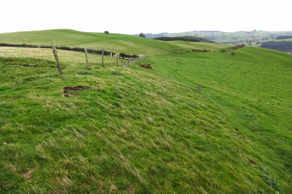
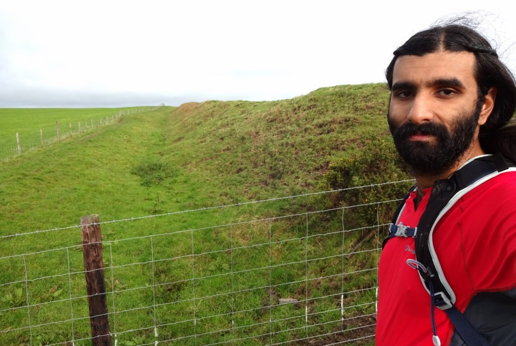
The Dyke is just a really imposing structure. It was only later in the day that I saw some of the most impressive parts, where from the top of the dyke to the bottom of the ditch it’s a good 6 metres or so high; but even in places where it’s weathered down to little more than a moderately raised field boundary, just the fact that about 90 miles of this thing were built in the 7th centry, in isolated mountainous land, is very notable. It must have been a gigantic effort and with a terrible human cost, and yet if I understand correctly more or less doesn’t exist in the historical record, despite being well within recorded history, a time when we have narrative primary sources and things like that – if still extremely patchy compared to even a couple of hundred years later. Makes one wonder what other extremely notable events we’re missing because they didn’t leave a 90-mile long dyke on the land.
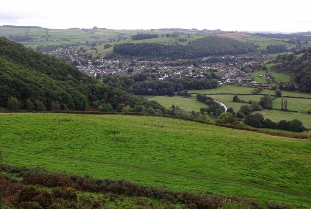
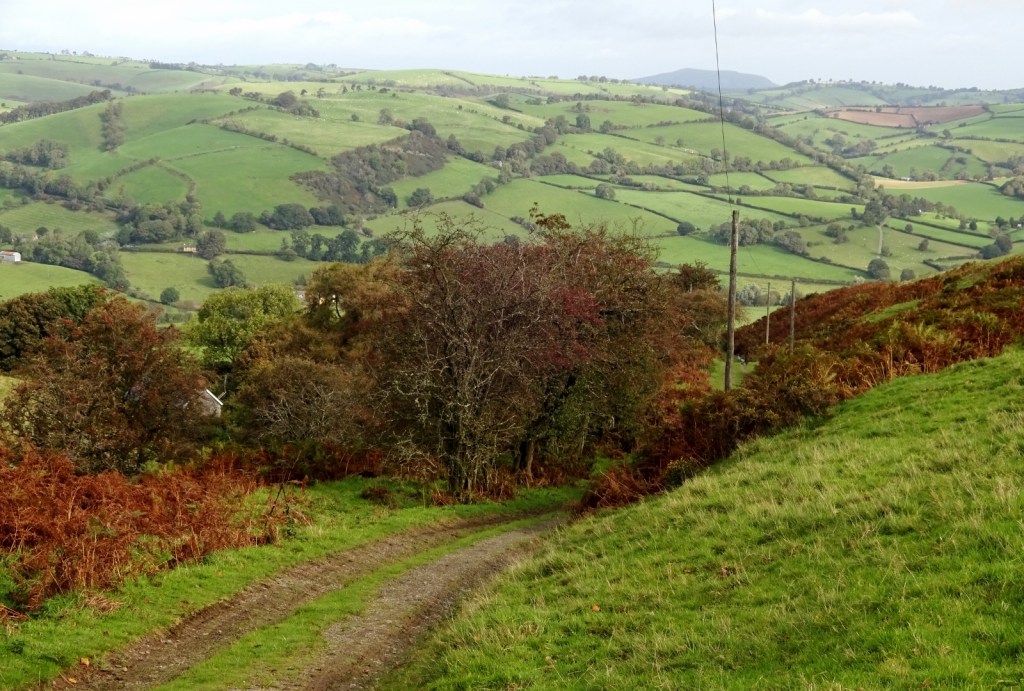
It was a really nice day’s walk! Following the ascent out of Knighton, the next couple of miles were flattish, along a rounded ridge looking down into the valley of the River Teme, and the railway line I’d arrived on. The four or so miles after that were still in isolated uplands, but with a bit more ascent and descent, going in and out of the heads of little valleys and passing individual farmhouses.

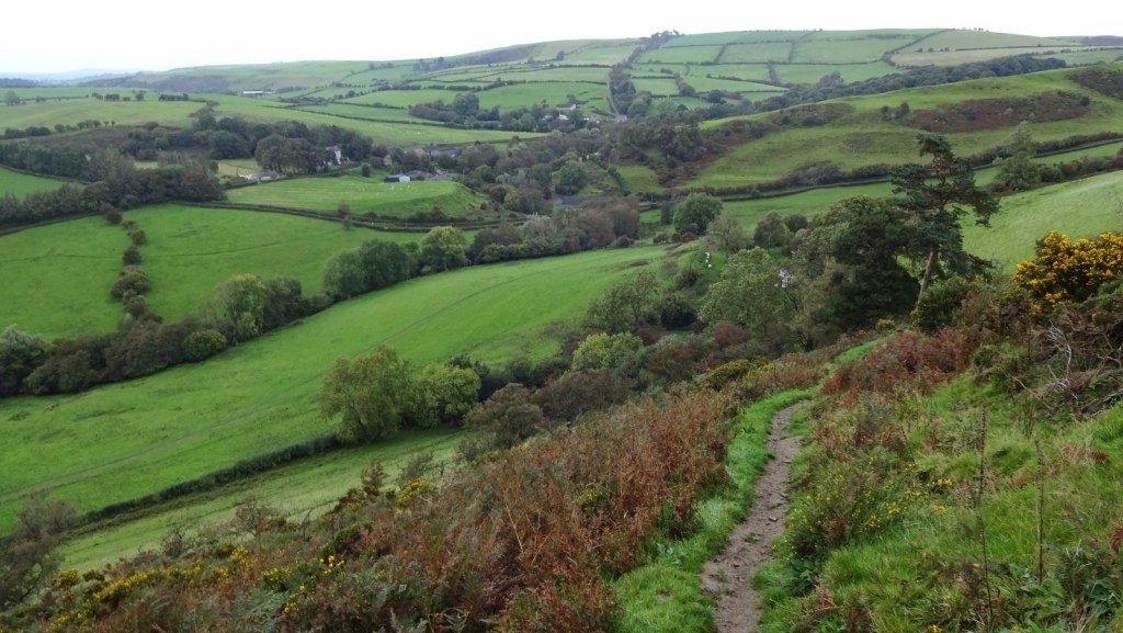
By around 11am, I’d arrived at the first of a couple of down-and-ups of the day, as I descended into the valley of the River Clun (pronounced exactly as you wouldn’t hope) and the pretty little village of Newcastle, which also marked my rough half-way point for the day in terms of distance – though not yet in terms of ascent.
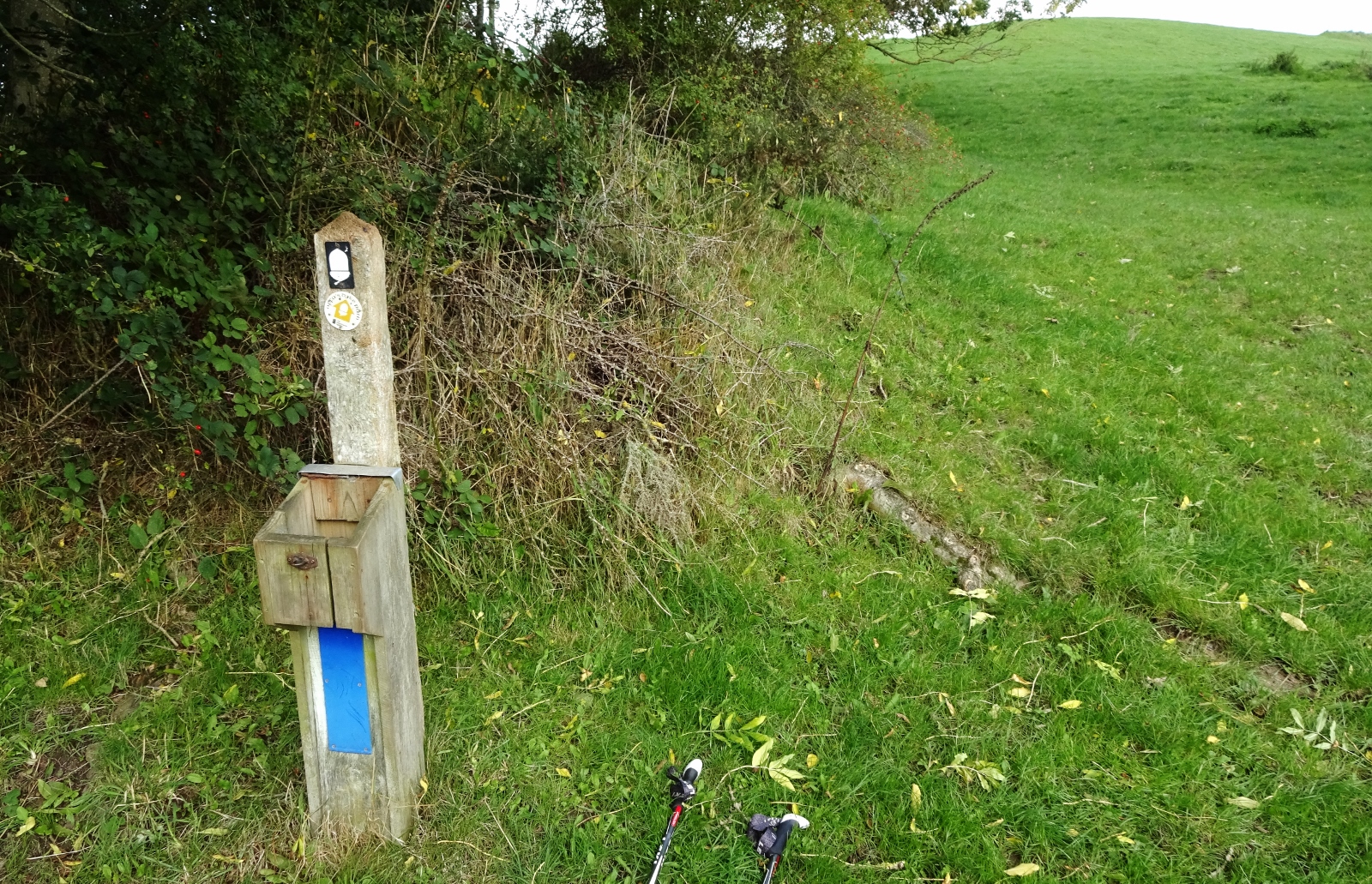
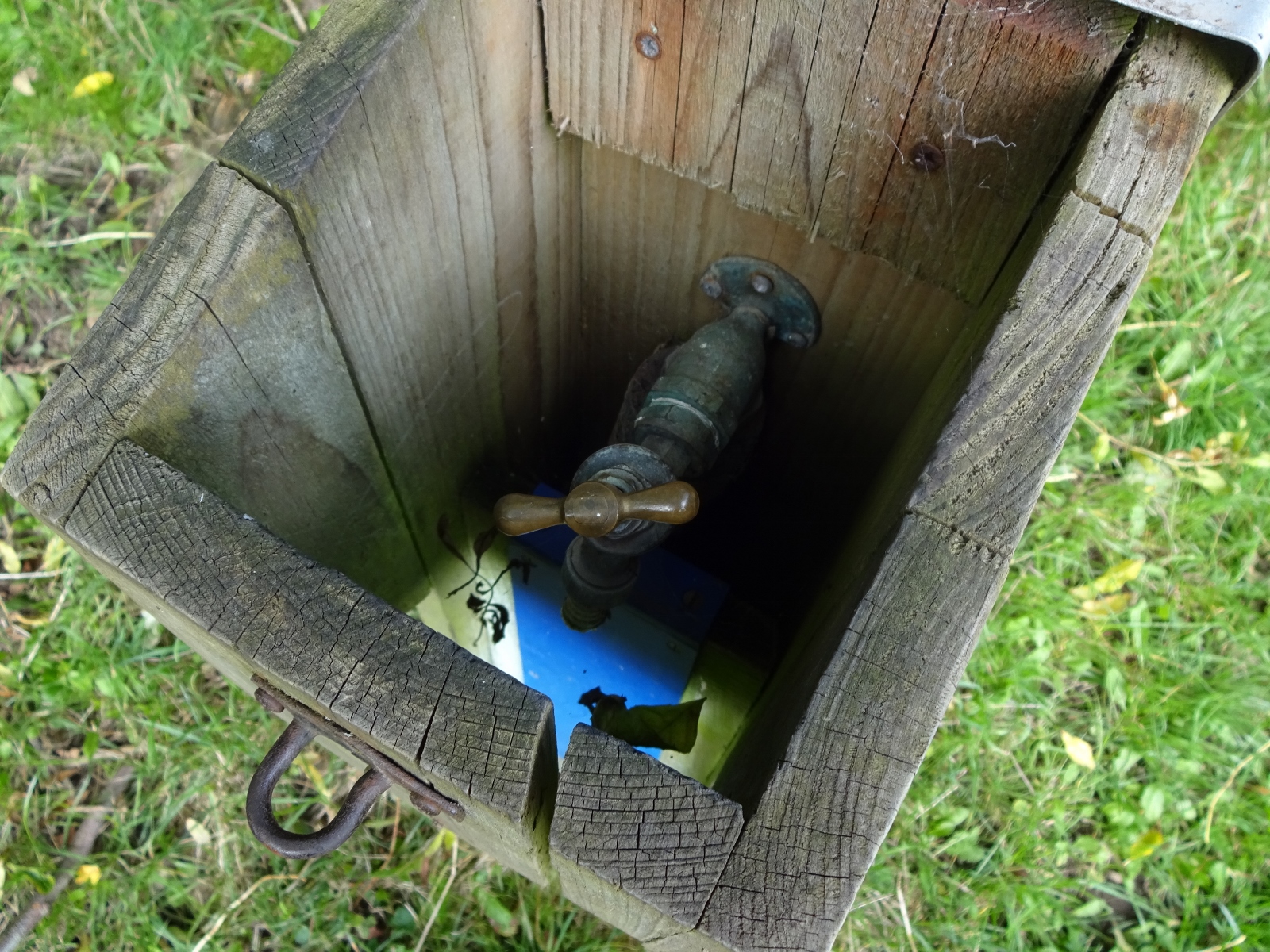
On the descent, I passed a waymarker for the path which had a little tap attached to it, inside a sort of wooden framework – I’m not entirely sure whether this was intended as a thoughtful water refill point for walkers, or was some farm-related thing that happened to be on the same post as the waymarker. But I think the former seems more likely, especially given the little blue marker under it, seeming to want to indicate water to passers-by. I indeed used it, and was happy for it!
Soon after Newcastle, I also passed a signpost telling me that I was at the half-way point of the entire Offa’s Dyke Path. I’m not walking the whole Path at the moment of course, but it is increasingly tempting, at least to do it piecewise: I’ve now done a couple of substantial sections, and now that I live in Moreton-in-Marsh, I’m within 2-3 hours’ travel of most of the Path. I might just decide to do a few more days here and there in the coming year!

The signpost also had a link to the trail website, where it said that I could find information and podcasts about the trail. The podcasts sounded tempting, since while I mostly walk without listening to anything, doing so for an hour or two during a day of walking can help to break it up nicely. I had no signal all day, let alone internet, so I didn’t pursue the podcasts immediately, instead sticking to the unrelated ones I’d downloaded. I did though get on to the website that evening via the wifi in my Airbnb (still no phone signal), but unfortunately could find no trace of the podcasts mentioned. However, searching for “Offa’s Dyke” in my podcast app led me to an episode focussed on the dyke from the podcast Benjamin’s Britain, which proved to be an excellent discovery; I downloaded several episodes and listened to them the next day and on my journey home, and greatly enjoyed them. The podcast follows the adventuers of one of the hosts, who aims to visit every site featured in the book Landmarks of Britain: The 500 Places That Made Our History by Clive Aslett, with lots of fun history knowledge and regular appearances from the host’s various acquaintances who’ve travelled to the places with him. It’s just interesting and also warm and nice! (In fact, it’s almost as if I like the idea of trying to visit all of a list of several hundred places up and down Britain…)
Just after Newcastle-on-Clun, I also walked out of this map area. So this tale will be continued in my next post!
Previous visits
I’ve previously come to this map area in April 2016, on a wo-and-a-half-day walking trip with Erithacus, Millicent and Vesper on a slightly more southerly part of the Offa’s Dyke Way. I described the first day and a half of this trip, from Cwmyoy in the Vale of Ewyas, up to Hay-on-Wye, in my post about map OL13, the eastern Brecon Beacons map. Just after we finished that trip, I very conveniently did a writeup to share with my friends, so below I’ll just continue on from where I left that previous post, sharing a lightly-edited version of that writeup!
Our last day was to be the longest, and after deciding to leave earlier we naturally ended up doing so at exactly the same time as the day before. We picked up Offa again and plodded off, passing into England briefly before entering the village of Newchurch while being repeatedly passed by a fascinated boy on his bicycle. A local was there engaged in the erection of a sign at the eponymous church promising free tea and cake at the next “H. Comm.”. Rather than following Offa, in order to avoid an intimidating-looking hill we decided to take the road to Gladestry. Gladestry proved to be a luxurious lunch spot, providing both a bench and a bin – although its post office, offering hopes of grocery-replenishment, proved to be open only on three days of the week – of which this was naturally not one.

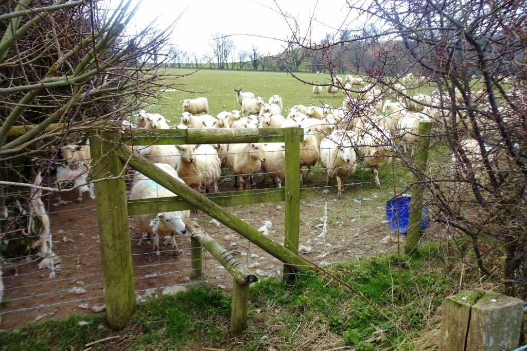
Some more elevation-avoidance led us to leave Gladestry by another alternate route, whereupon we encountered a field of at least a hundred sheep who, clearly finding us wonderfully fascinating, gradually all converged on us as we attempted to escape over the overgrown stile in the corner. Later conversation established that, with the weapons in our possession, we probably could have held out against them indefinitely, even if they did start to surmount the bodies of their fallen comrades (although one of us standing alone might have trouble under such circumstances).

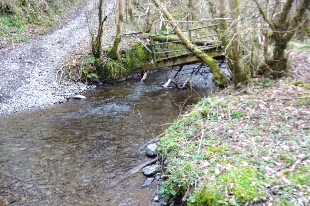
Our next suitably quest-like impediment came from a collapsed bridge and the consequent necessity of fording a stream – some socks were dampened, others removed.
Our approach to our final campsite in New Radnor led us to meet a couple building some kind of interesting wooden structure by a disused railway line. Pitch and pub we did again, but this time for food as well, having failed to find an open shop and being under-budget anyway, and soon the day was done (although the night began with some alarming bestial noises from some local dogs investigating us in our tents).The sole remaining adventure came from the our taxi-driver, whom the campsite owners had already informed us was “something of a joker”. His tales of local celebrities seemed to drop off somewhat after we perked up out of drowsiness to discuss saints’ lives. And so the trip was ended, with all still alive and almost entirely in one piece (well, one each).