OS Explorer map 212, Woodbridge & Saxmundham: Aldeburgh & Framlingham – I own this map, and hadn’t visited it before starting this blog. Provisionally visited 5th May 2018, only provisionally under The Rules because I visited the overlap between maps 212 and 197; then un-visited 2nd October 2019 when I visited Ipswich, in 197 proper. Re-visited 212 for this post 14th December 2020.
Google Maps location links: Woodbridge, Sudbourne, Dunwich, Blaxhall Heath, Sutton Hoo
Blog structure note
As you may have gathered from the post title and previous paragraph, this is the second time I’m visiting this map area since I started this blog, the first time being the memorable occasion when I and some fellow students read and re-enacted bits of Beowulf for the audience of Woodbridge’s annual Beowulf Festival. However, Woodbridge is in the overlap between maps 212 and 197, so under the Rules of this blog, I had to pick which of those map areas it would count for, and that area would count as only provisionally visited.

When I visited Ipswich the next year, I had been to a place solely in map 197, so 212 became un-visited. But now that I’ve been back to map 212, visiting areas unique to that map, I’ve re-visited it – this the first time that that’s happened to a map area since I started this blog, and also the first time I’ve posted for a second time about the same map area! In general, I don’t re-post when I visit a map area after it’s already featured on the blog, with this circumstance of an un-visit-then-re-visit being the only one where I would. (I have thought about doing re-posts for map areas occasionally, just when I go on in-UK trips that are particularly interesting and I’d like to write about, but which don’t visit new map areas. Maybe I’ll think about it when I’m no longer tens of posts behind!)
This visit
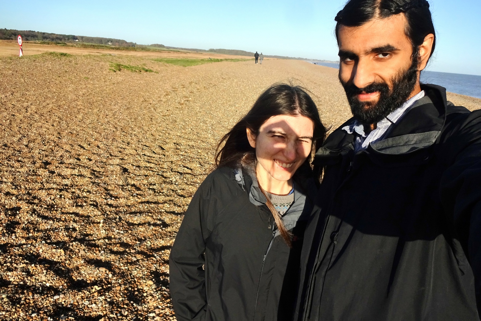
I visited this map area on a short holiday with Vesper – it was coming up to Christmas, so had been a few months since our trip to Harris in summer, and we felt like a break together was in order, before we possibly went our separate ways for Christmas with our families. The UK’s second wave of the coronavirus pandemic was in full swing in mid-October when we were looking to book our holiday, so we decided to stay as local as possible, and booked a cottage near on the Suffolk coast for our midweek trip.
The cottage was in the countryside near Sudbourne, in an area of Suffolk that’s fairly isolated due to being cut off on three sides by the rivers Alde, Ore and Deben, along with the long sandbank-type thing that is Orford Ness. It was a really lovely area, very quiet and green with lots of woods and lowland heaths. The cottage itself was interesting – it was one open space, above and behind the garage of the larger house that the owners lived in next door. The kitchen and dining area were downstairs, with the bed and living space being half a storey higher in a sort of mezzaniney setup.
We were there for four nights, and went for a walk out somewhere each of the three full days, spending the rest of our time lazing around in the cottage. Our first trip out was to Dunwich off to the north, in map 231, which I’ve visited before on my Beccles & Ringsfield trip but it was really interesting so I’m going to write about it here anyway.
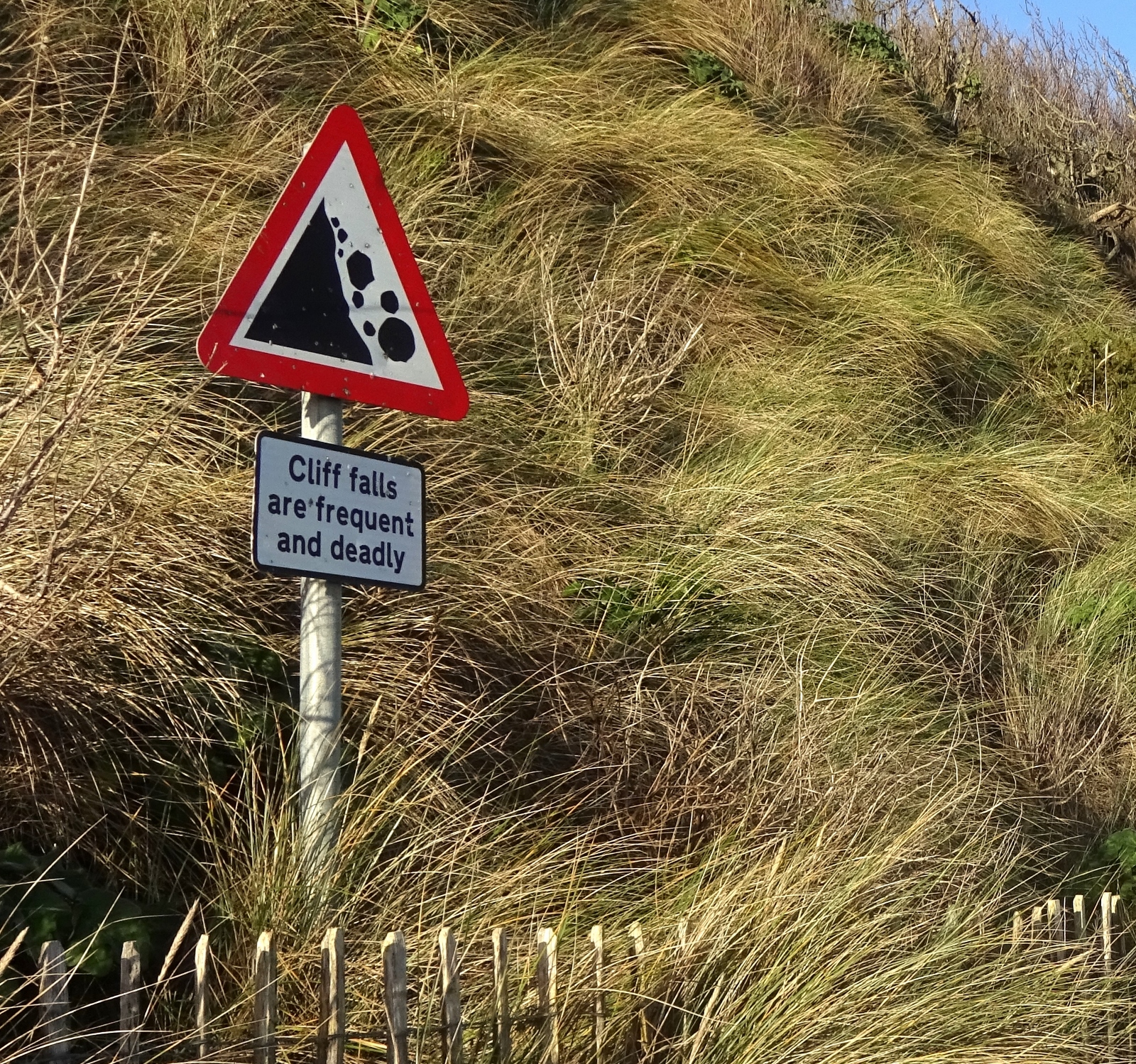
Dunwich is a small coastal Suffolk village, but is very notable for the fact that it’s slowly falling into the sea as the little cliffs it sits next to advance. It was once a large and thriving medieval town (and possibly the capital of Anglo-Saxon East Anglia), but pretty much the whole of the old town is now gone.
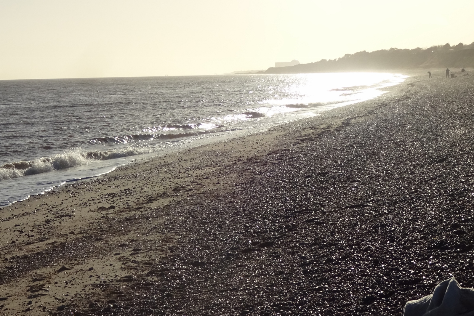
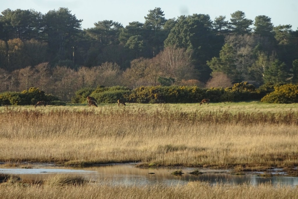
When we arrived, we first went for a walk along the beach, which was pretty empty aside from a handful of people fishing – I didn’t even know that one can catch fish in the sea right from sitting on the shore. We had a look at the cliffs from below, though alas we didn’t spot any interesting archaeological items sticking out of them, as apparently happens from time to time.
From there we walked up into the village and along a footpath to see the Last Grave, now something of a landmark – it’s, well, a grave, sitting ten feet or so from the cliff edge among scrubby trees, notable for being the last remnant of All Saints’ Church, which was the last of medieval Dunwich’s eight churches to fall into the sea, with some bits of the building lasting in their original location into the 1920s.
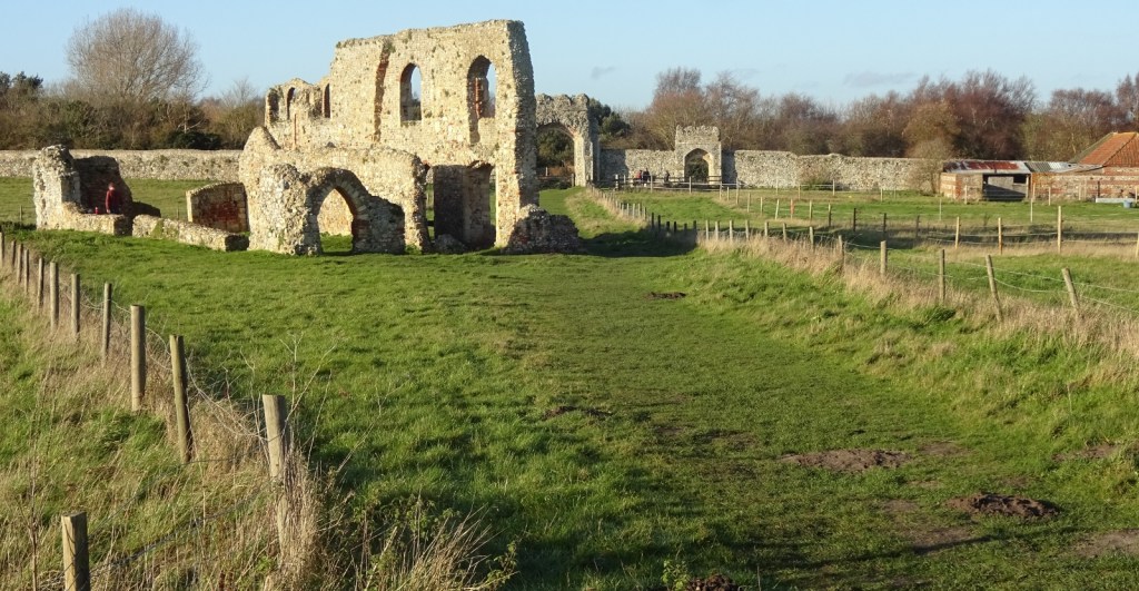
We then continued to see Greyfriars, Dunwich’s old Fransicscan friary, which is one of the only bits of the medieval town still visible, due to the fact that it was located just outside the old town walls on the inland side. The friary site’s outer walls are still very much present, now enclosing an area where several horses were grazing, along with the ruins of the friary buildings themselves.
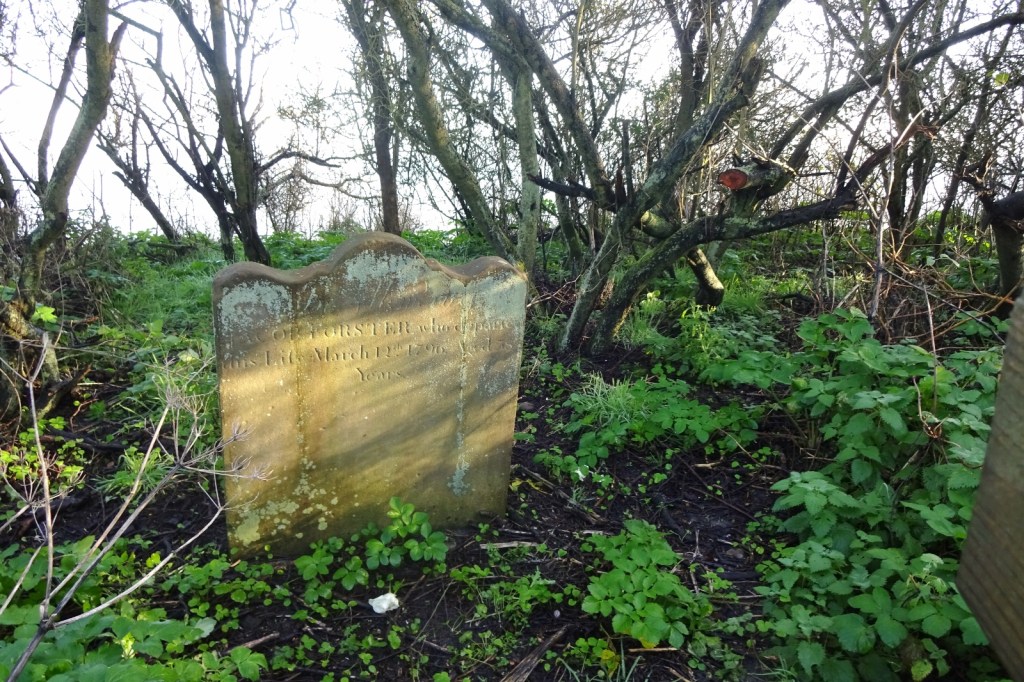
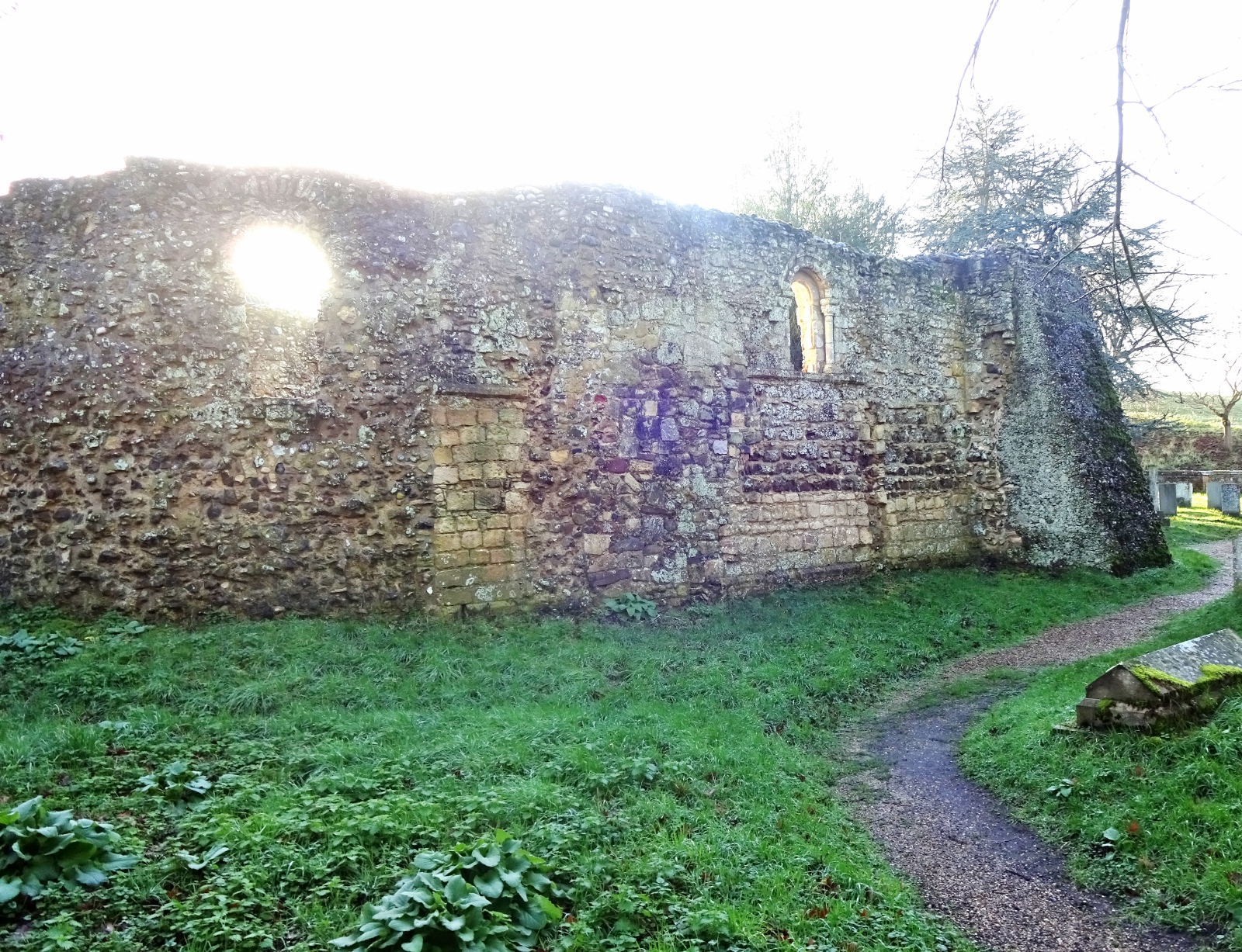
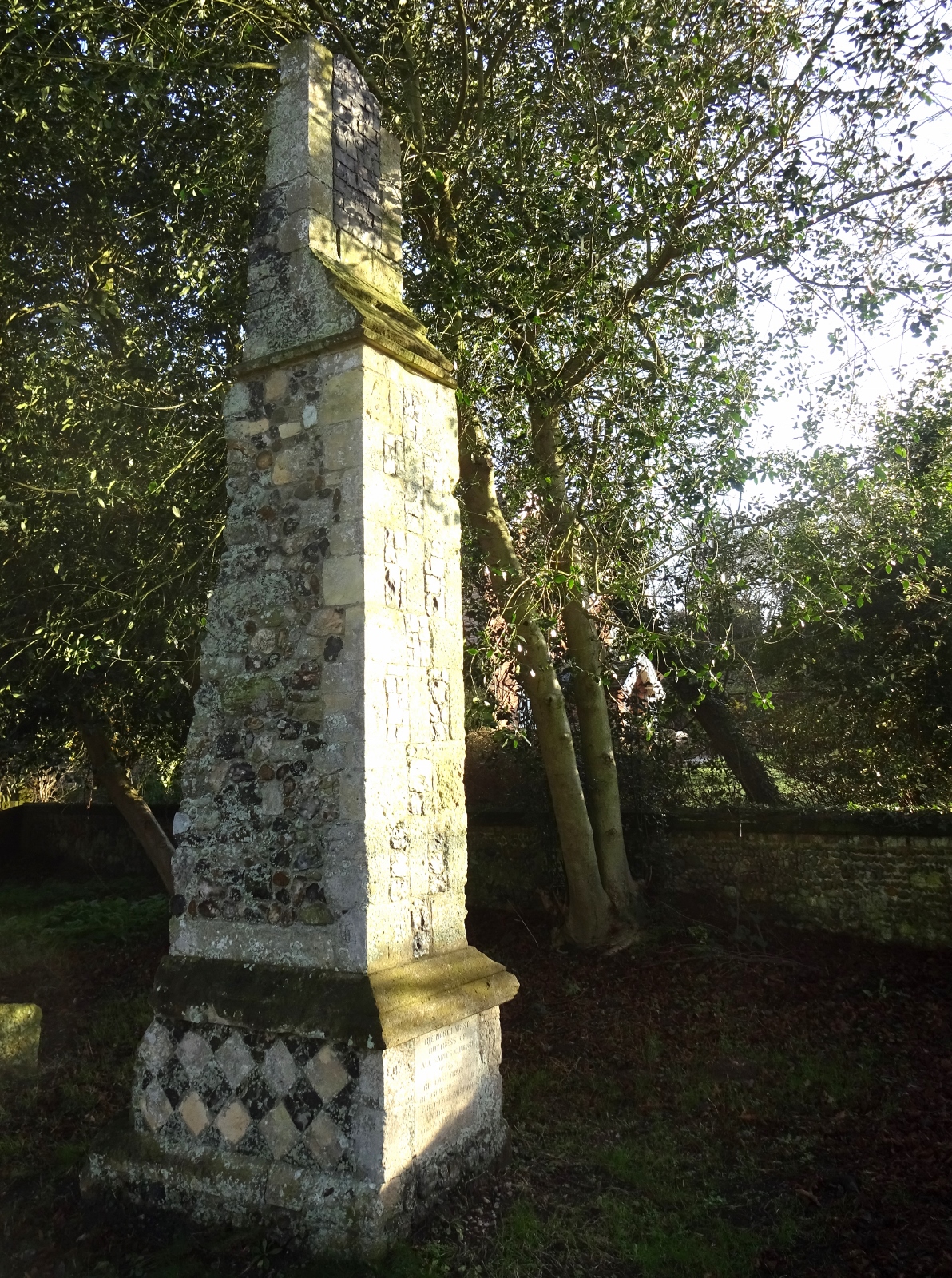
We then went a way inland to the churchyard of Dunwich village’s current Victorian church. The churchyard is really interesting actually; it contains the very nice ruins of a medieval leper chapel – i.e. the chapel attached to a leper hospital, which was placed a fair way outside the town walls due to people’s wariness of the leprosy. Also present was an isolated ruined buttress, which is the very last bit of All Saints’ Church mentioned above – when all but this one tower buttress had fallen into the sea, it was relocated inland to this churchyard.

It was then time for packed lunch sat in the car, after which we had a walk northwards, with the beach on our right and the Dingle Marshes and Dunwich Forest on our left, before heading back to the cottage for a relaxed afternoon.
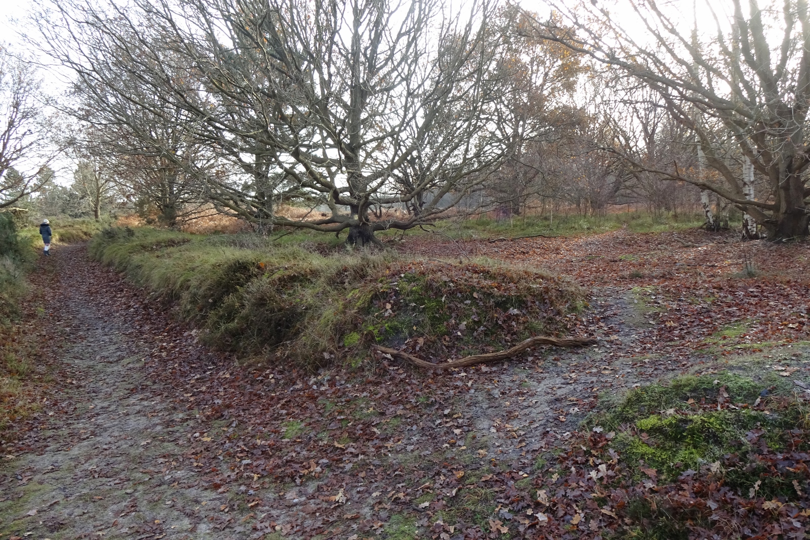
Our next day’s trip was much closer to the cottage (and actually in this map area), being a circular walk that took us through Tunstall Forest and Blaxhall Heath, then near the village of Snape before returning to our starting point along the Suffolk Coast Path.
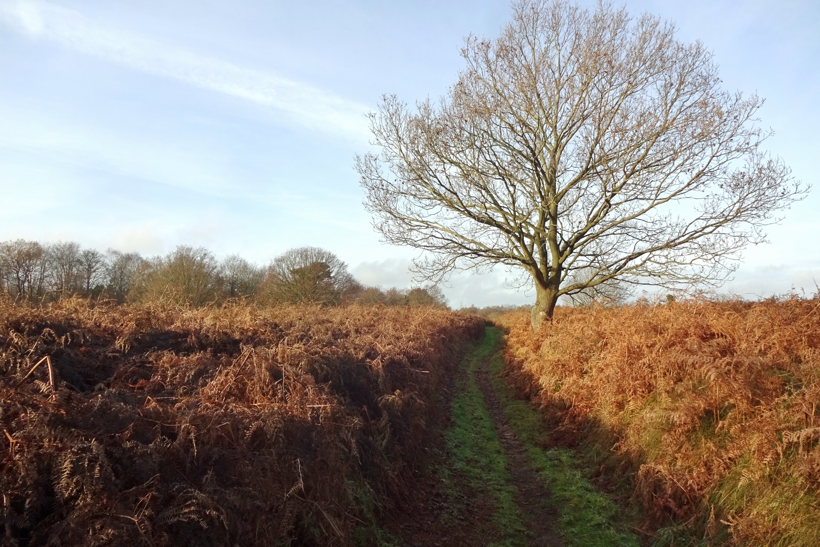
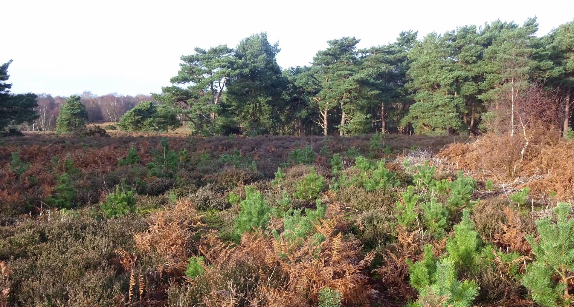
The forest and the coast path were very pleasant, but I particularly liked Blaxhall Heath. I generally love open uncultivated-feeling places, and heaths and moors are great for that, though I know some people find them pretty boring. It was just a big space full of heather and ferns and other little scrubby plants, and occasional stands of trees; there was such a diversity of textures and muted colours on the green-brown-purple-red spectrum. Very much to my taste! It’s just a pity that lowland heaths and commons in England are so small – it would be great to be able to lose oneself in one for a day!
Our final day trip was a walk to visit Sutton Hoo, the well-known site of the Sutton Hoo ship burial, probably the 7th-century burial site of one of the kings of the East Angles, excavated in the 1930s and -40s and the source of some of the most spectacular and famous Anglo-Saxon archaeological finds ever, most notably the Sutton Hoo helmet.

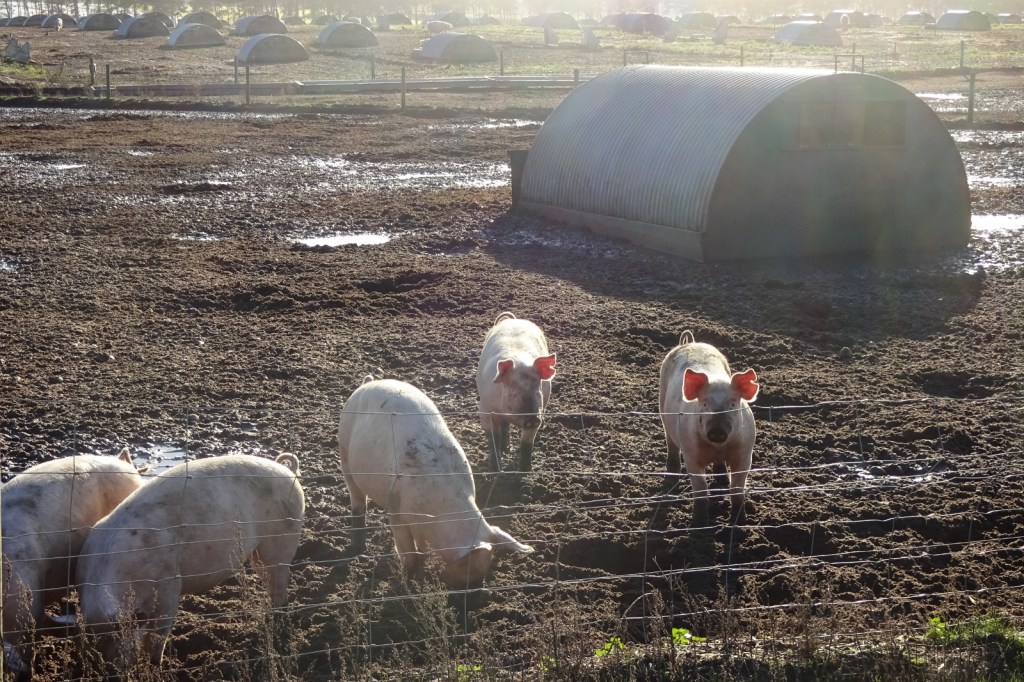
Our walk to Sutton Hoo took us through Woodbridge Golf Club and past a giant pig farm (we saw a lot of these in Suffolk), and we were pleased to find that the whole Sutton Hoo site is free to access, so we had a good nosey round, seeing all the burial mounds, and encountering a site volunteer who gave us lots of fun info about the archaeological digs and so on.

And that was it! We had a very nice time and were glad we went. I’ll leave you with a photo of the Christmas dinner that I made for us one evening (we ended up having a second Christmas dinner together later on, since a change in pandemic restrictions meant we couldn’t go to stay with our respective families, but still, both were nice!).


3 thoughts on “212 again (for real this time): around Sudbourne”