OS Explorer map OL52, Glenshee and Braemar: The Cairnwell & Glas Maol – I own this map, but have not visited it before I started this blog. Visited for this post 26th December 2017.
This post continues directly on from the previous one, with my parents and I in the car in Scotland. From Lockerbie, we continued driving northwards to our hotel for the night in Spittal of Glenshee. I had a bit of a sleep and, upon waking, was told that I missed the snowiest bit of the way. In any case, at about 5pm (by which time it was dark, this being December), we rolled into our hotel. Rooms were sought, and we then sat around for a while, during which time I wrote the previous blog entry. Eventually we went down for dinner and ate it, and then ascended and took to our beds, where I read for a while before sleeping. [1]

The next morning, we departed fairly speedily after breakfast so as to be able to do that day’s driving while it was still light – our destination was Torridon, where we were to stay the next two nights before getting the ferry to Harris; we expected there to be about four hours of driving to do and wanted to stop in interesting places too! Although we had driven through snowy regions on the way, there was none on the ground where we were staying, but there was very satisfyingly springy frost on the grass. I lamented not being able to properly meet the hotel’s resident fluffy white cat – I had caught only a couple of glimpses of it as a young fellow guest was monopolising its attention, and he and the rest of his extremely large Swedish family departed at the same time as we did.

We drove north on the A93, admiring the mountains and the, alas currently dry, ski slopes.

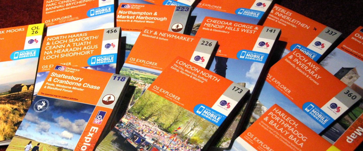
Our first stop of the day came quickly, at Braemar, with the goal of buying Father Dearest some kind of coat, as he had accidentally picked up one belonging to my cousin when we were leaving and so had none. By this time it was snowing noticeably, and we parked up and went into an outdoorsy shop, where Father Dearest acquired his desired clothing, and I bought this map! There was a pleasingly large selection of maps in that shop, and I also bought OS Road Map 1, Northern Scotland, which I then used to direct us for the next few days; it was really very useful! I already had Road Map 2, Western Scotland, but I’d never used it on the road before; it was a very pleasant experience. [2]

We also went into the “Horn shop”, which true to its name sold a huge variety of products made of horn, as well some rather creepy coat hooks made of deer feet. I bought a book of 30 haggis recipes and a fridge magnet. [3]

We then wandered Braemar briefly, admiring the very dramatic river, in search of the ruins of the medieval Kindrochit Castle which I had read were in the centre of the village somewhere.

The tourist information office was closed, but some phone searching eventually found that the ruins were right next to the car park that we’d parked in, so it was back across the bridge and indeed, there it was.

So yes, I wandered around the ruins briefly. Sometime last year I read a book of Scottish history; I rarely read history so that was unusual but I very much enjoyed it. Alas I remembered too little of it to be able to place a lot of what the signs were talking about, but still, yay, ruined castle. There was a split-level house visible across the river, with lots of glass, with its entrance on the upper level but with its lower level reaching down to the river, which I thought was very tastefully done, and which I thought Father Dearest would love – he loves glass in houses – but alas he had gone back to the car to take a phonecall.

We then got back into the car and continued on our way up the A93, leaving this map area behind!

[1] I am currently re-reading Lirael by Garth Nix, which is lovely. (That link is to Goodreads; I very much like Goodreads. My page on there!)
[2] The Road maps have a scale of 1:250,000 and are, as the name suggests, intended for driving. This is a smaller scale than the Tour, Landranger, and Explorer maps, except that the Tour map of Scotland is an oddity, having a scale of 1:400,000 so as to fit in the whole of Scotland, whereas the other Tour maps are at 1:100,000. So in Scotland the Tour map is smaller scale than the Route maps! While the eight Route maps cover the whole of Britain, the Tour maps are only of places of primary tourist interest; they show tourist information and some major named footpaths.
[3] I collect fridge magnets of places I have been, a habit that started formally on my trip around Europe with Cabbage in summer 2012, where I bought a magnet in each city while Cabbage bought a shot glass. I would post a picture of my fridge magnet collection on the fridge at home, but alas I don’t have one and am not currently at home so can’t take one. For a future post! (I’m writing this at our hotel in Torridon, although only in WordPad as there is not functional internet, so I will post this tomorrow when we get to Harris!)

3 thoughts on “OL52: Glenshee and Braemar”