OS Explorer map 111, Bude, Boscastle & Tintagel – I do not own this map, but had visited it before starting this blog. Visited again for this post 28th February 2020. This is the third of three posts about my trip to Devon and Cornwall for my then-employer‘s team retreat.
Google Maps location links: Bude, Tintagel
As mentioned in my previous post, one afternoon of this work retreat was left free for leisure activities. For this, we split up into three groups. The first was people who stayed at the retreat venue: they explored the little farm estate we were on, used the swimming pool and games room, things like that.
The second group piled into a couple of cars and drove the 15 miles or so into Cornwall (and into this map area) to spend their afternoon by the seaside in Bude: exploring the beach and some local shops, cafés and pubs, and in a couple of cases getting into the sea!
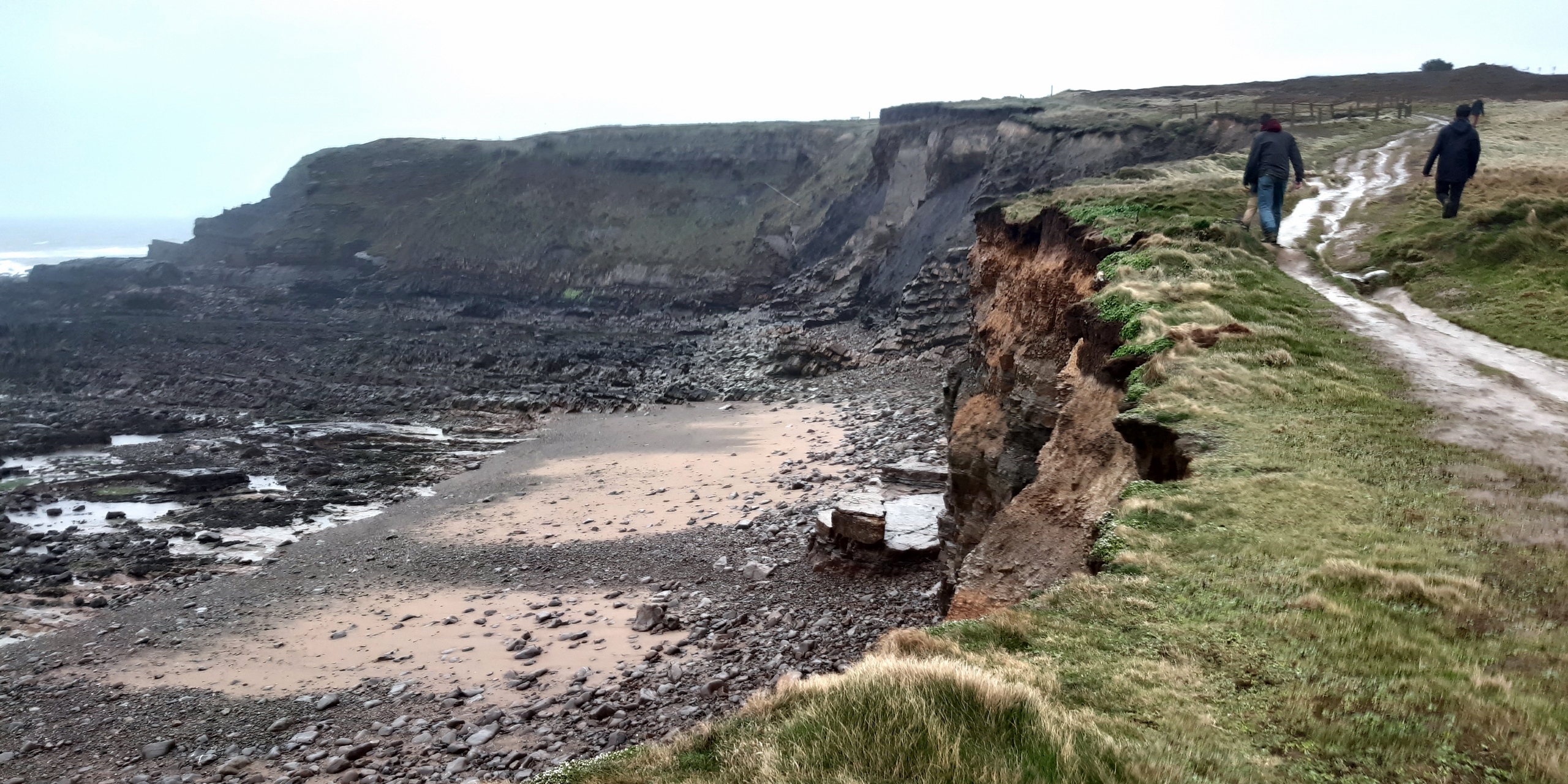
I led the third group, which would be going for a walk. We, too, drove off in the direction of Bude, parking up in the village of Upton a mile or so southwards. The route I planned was a circular one, which would take us northwards along the South West Coast path for a while, giving us the chance to see some dramatic cliffs, before skirting the edge of Bude and then turning south again, to walk along the Bude Canal for a couple of miles. We’d then turn off to walk across fields to get back to the sea near Widemouth Bay, and have some more dramatic coastline walking before we got back to our parking spot.
The walk went very well! There were indeed some very dramatic cliffs, which we all enjoyed. One highlight was meeting an absolutely tiny pony, who was very friendly and came and nuzzled us through the gate to its field.

The weather started out good, but became rainy and very windy toward the end, leading us to want to stay a fair distance away from the cliff edge. Things also got very muddy on the later section walking through fields, especially in a field full of turnips or swedes, where the wind and rain had eroded away the soil to such an extent that the vegetables were all left very amusingly standing up out of the soil on just their thin tails!

Nevertheless, despite the weather – and in the case of one particularly wind-loving member of our party, because of it – I think we all enjoyed the walk; I’m certainly glad I led it. The cliffs were very beautiful, and it was nice to get away from the retreat venue for an extended time – though I think we were all glad to change into some dry clothes when we got back!

Previous visits
I’ve been to this map area once previously, on the same June 2016 trip to Devon and Cornwall with the Dearest Progenitors that I mentioned in my previous post. In particular, immediately before arriving at the hotel near Launceston that I described there, we’d spent a couple of hours at Tintagel, in this map area.

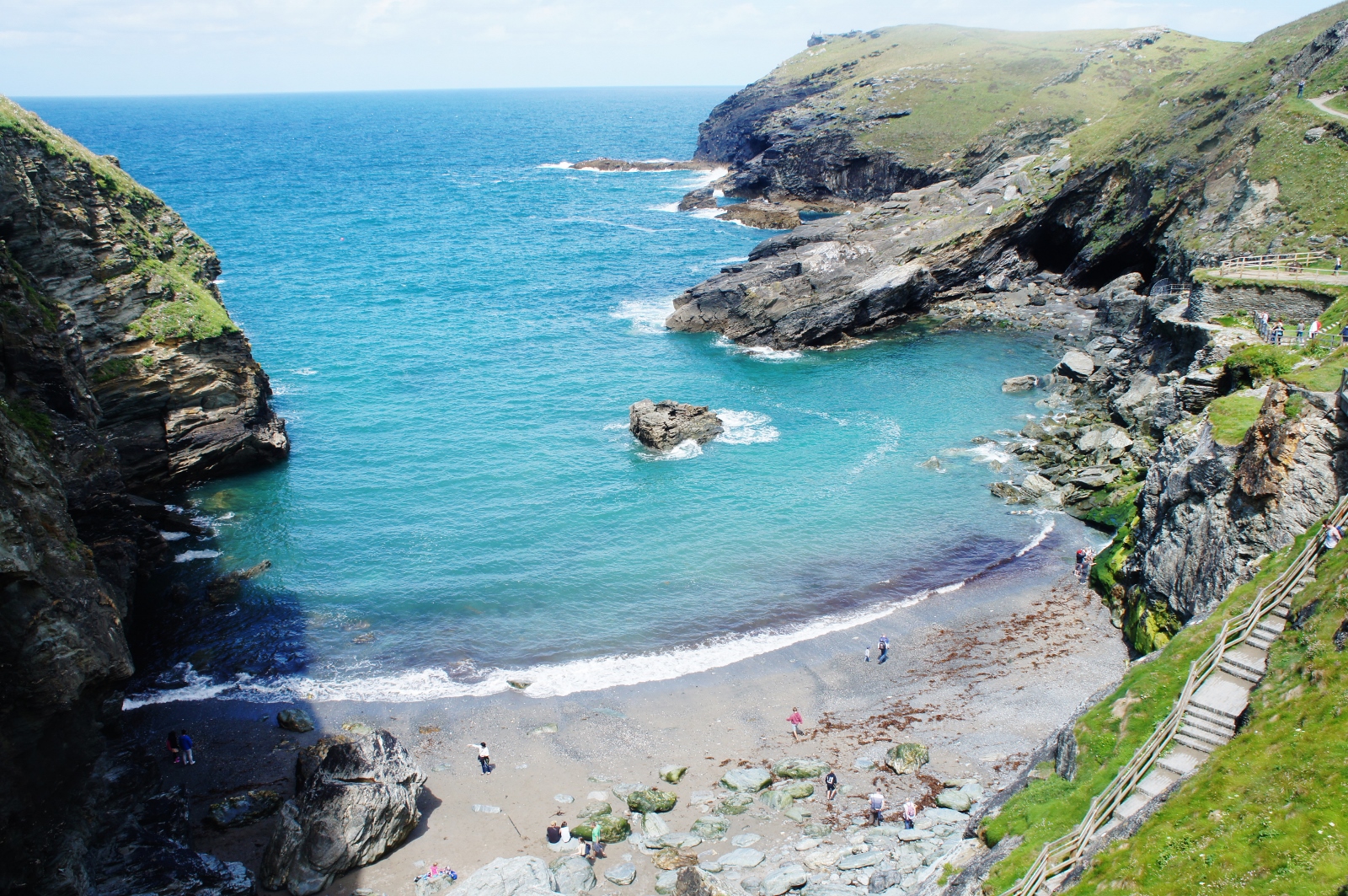
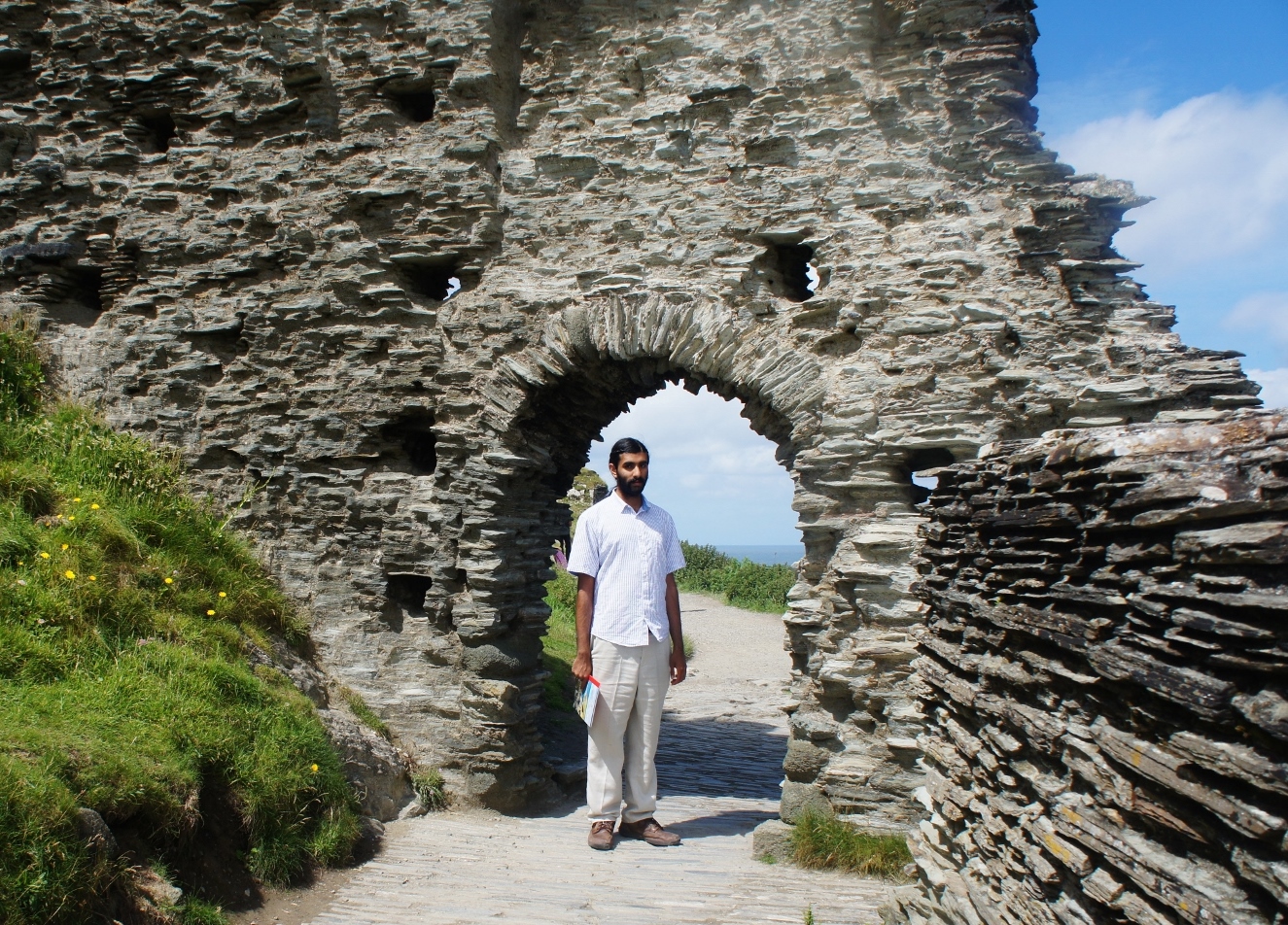
Tintagel is a very cool place. The ruined medieval castle sits on a towering nearly-island, connected to the mainland only by a much lower spit of land, and requiring climbing a winding stone staircase (and passing through the outer castle defences on the mainland) to access it. The site has been occupied since the post-Roman period, and, of course, is deeply associated with Arthurian legend. I was excited when I realised this trip would be an opportunity to visit!

As you may know, at university I did my degree in Anglo-Saxon, Norse and Celtic, which as you might expect, sits behind my interest in going to see places like Tintagel. My one other mildly interesting thing I have to say about Tintagel is that, in my days in that university department, I heard tell of an occasion in decades past when a group from the department went on a trip to Cornwall and, following what I assume was not an entirely sober evening, somehow managed to sneak into Tintagel in the middle of the night – I have no idea whether this is actually true or not, but it’s amusing in the way that rumours are!
Having said all that above about Tintagel being a really interesting place, I realise I don’t reall have much more to narrate about it, other than facts you could read elsewhere. My parents and I wandered around the castle for a an hour or so on a nice sunny day, had some tea in the village, and zoomed off out of this map area. So I’ll leave it at that!


2 thoughts on “111: Bude & Tintagel”