OS Explorer map OL46, The Trossachs: Callander, Aberfoyle & Lochearnhead; Balquhidder & Strathyre – I do not own this map, and had not visited it before starting this blog. Visited for this post 25th July 2025. This is the second of three posts about my trip up to the Isle of Harris with Vesper in July 2025.
Map area link. Google maps location links: Isle of Harris, Uig, Callander, Eaglesfield.
The earlier trip
My previous post told you mine and Vesper’s journey up to the Isle of Harris in July 2025, for a two-ish-week stay in my parents’ holiday cottage up there, remote-working for most of the first week and then holiday the second. I have of course posted about Harris before, having visited it many times, so I won’t tell you about our time there in detail, and instead leave you with just the below photos!
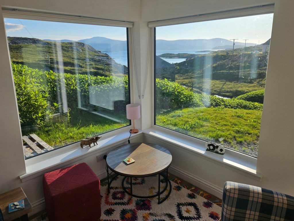
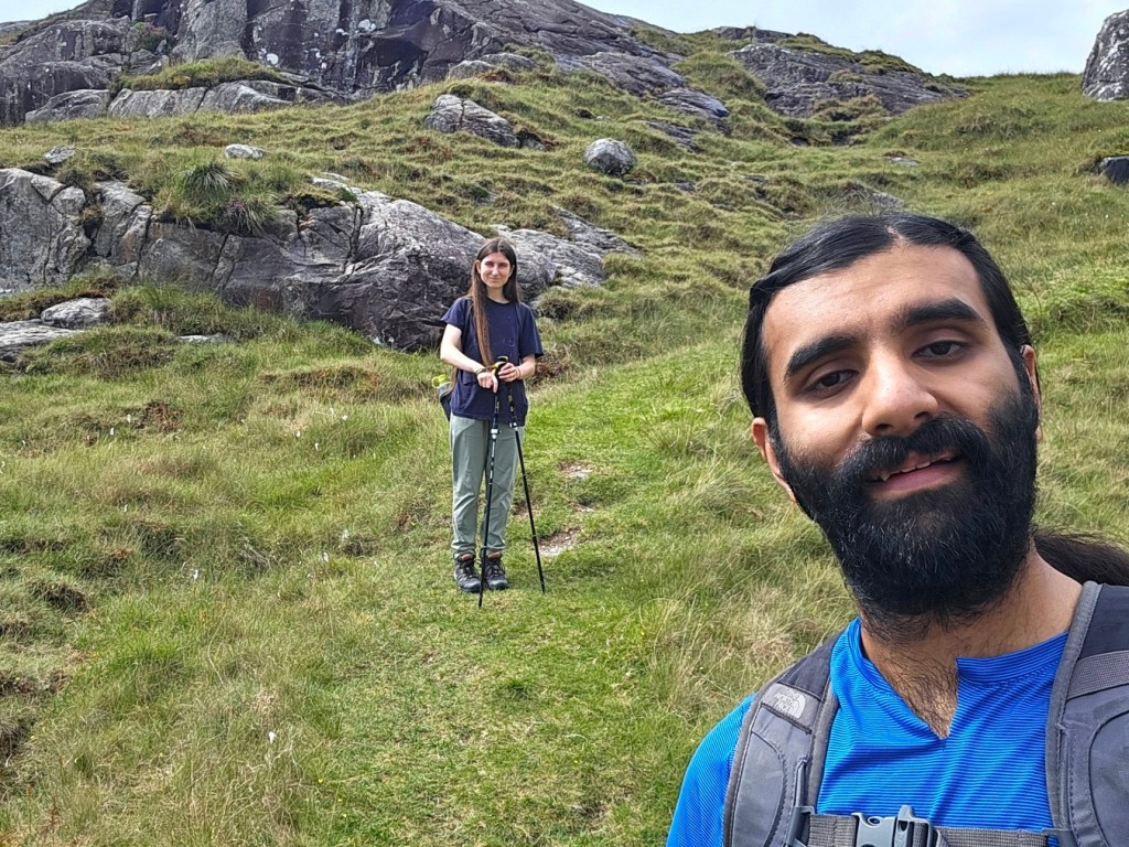
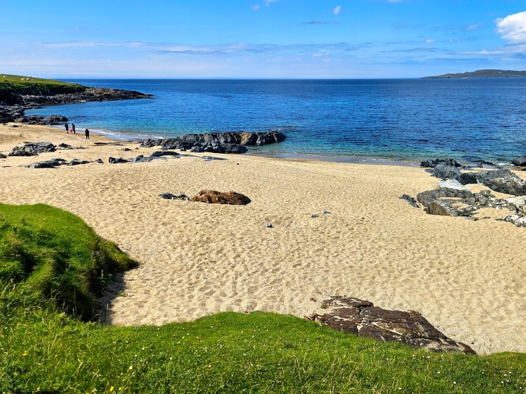
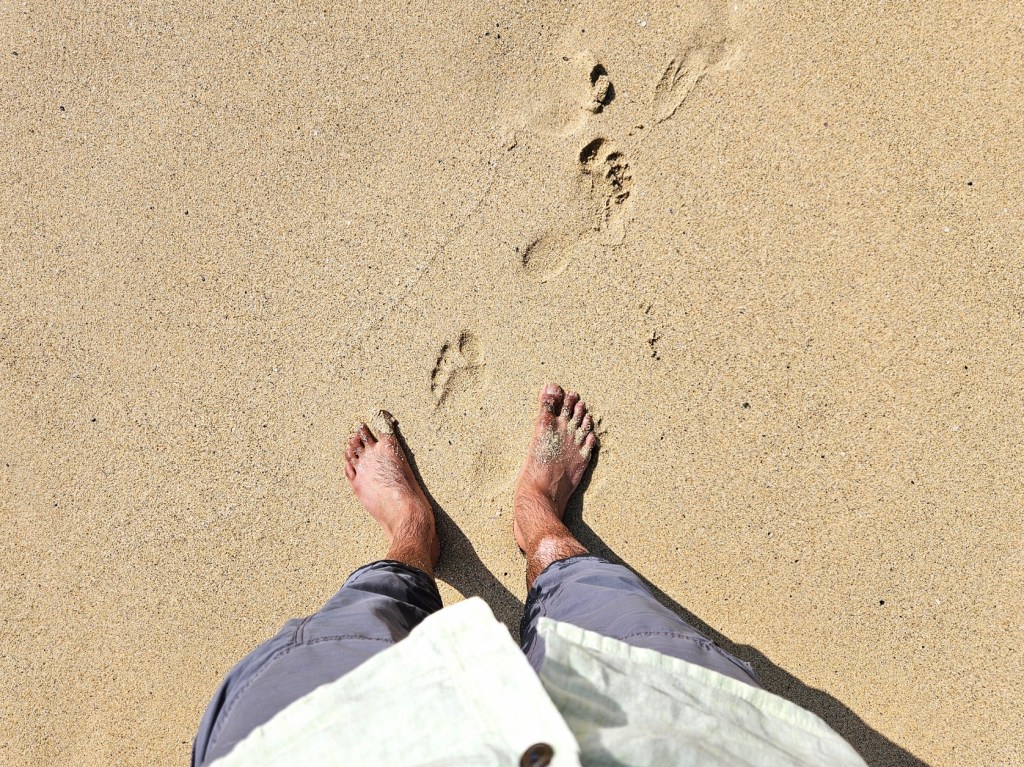
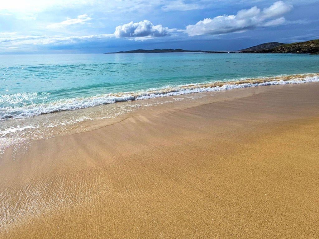
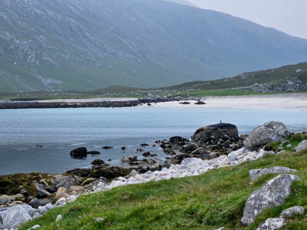
As you can see, we had a couple of great sunny days – alongside of plenty of more standard grey ones – which always make Harris look like some kind of tropical paradise really good weather days. It was a really nice two weeks!
At the end of the trip, we left Harris on a Friday morning, on the early 0720 ferry from Tarbert to Uig, planning to drive back to England over two days.
We’d originally considered visiting Vesper’s uncle, aunt and cousins in Lancashire on the Sunday, so booked to stay fairly far south – in the village of Eaglesfield, just some ten miles north of the Scotland/England border – so as to get the better half of the driving (about 6h30) out of the way on Saturday, leaving only around 4h for the Sunday and some good time for that stop. In the end, we didn’t end up doing the Lancashire stop, but a long Saturday it still was!
Given that, we didn’t stop too much on the Saturday. We had a couple of functional stops; one in Fort William to buy some lunch in M&S and eat it in a picnic area by the loch, and one a supermarket stop near the end of the day. We did do one look-around-a-place stop though, in Callander, which is how we came to this map area!
In this map area

Callander is a small town of around 3000 people, on the eastern edge of the Loch Lomond and the Trossachs national park, and indeed pretty much right on the Highland Boundary Fault, so just at the point on our drive where we’d exit mountains and enter fertile lowlands.
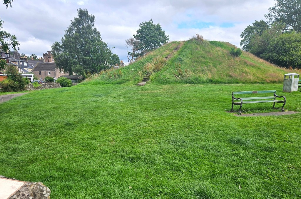
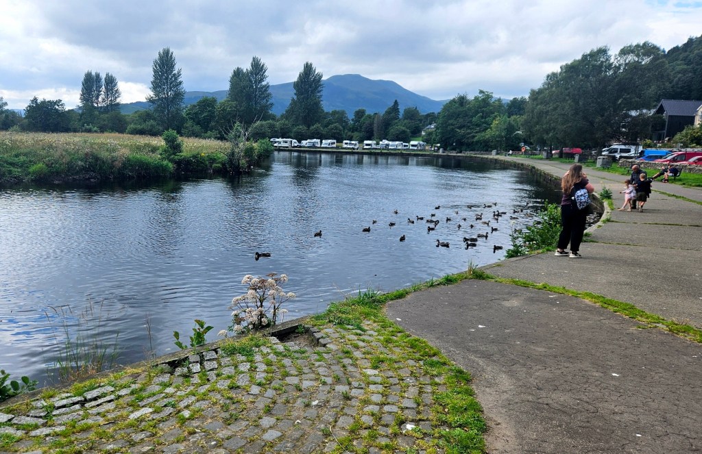
We parked up and had a wander around town for half an hour or so, just seeing the main street and the meadows to the south, along the edge of the River Teith.
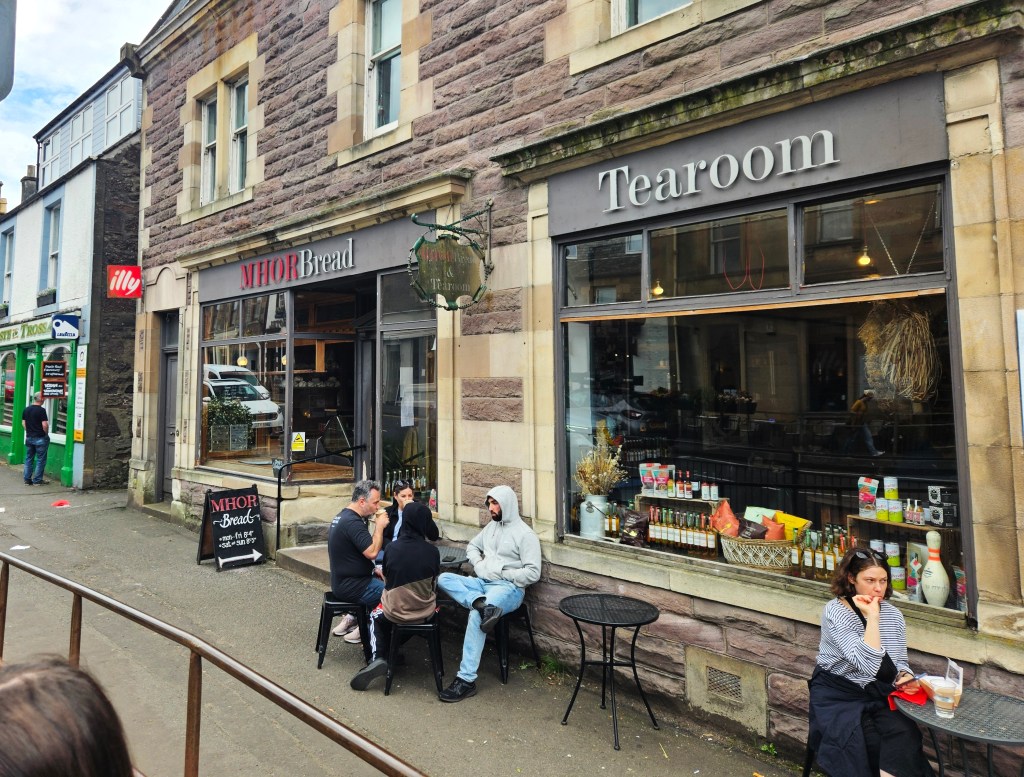
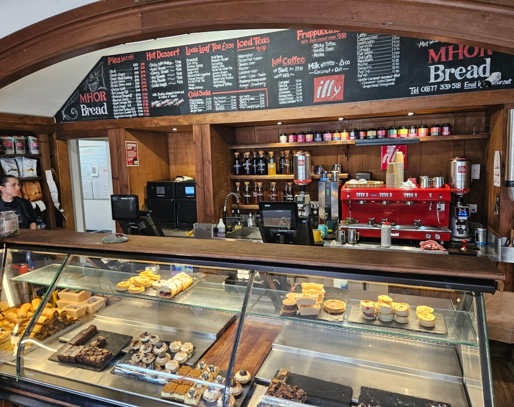
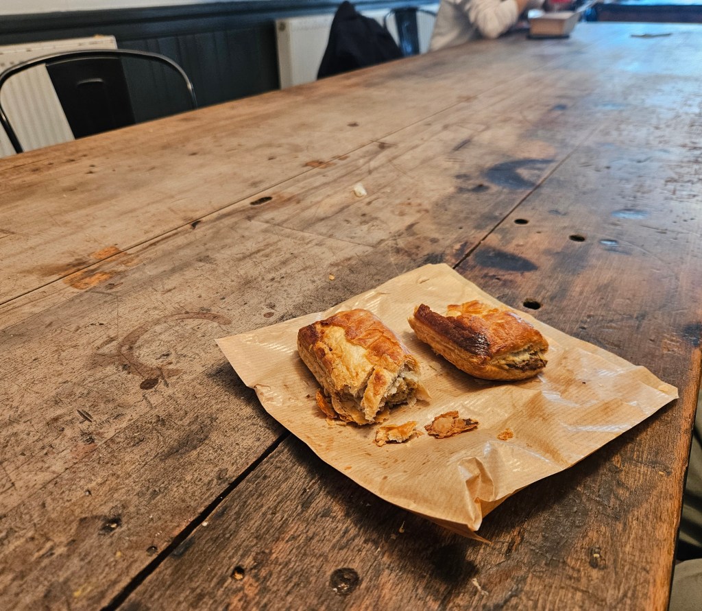
Following that, we sat in the excellent little bakery Mhor Bread – they had such a great selection of little pies and rolls and stuff, including a lot of interesting looking veggie options, plus a dining room where we sat at a fun giant old wood table with our hot drinks and pastries.
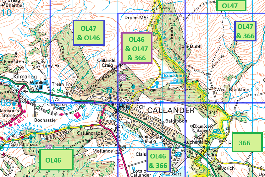
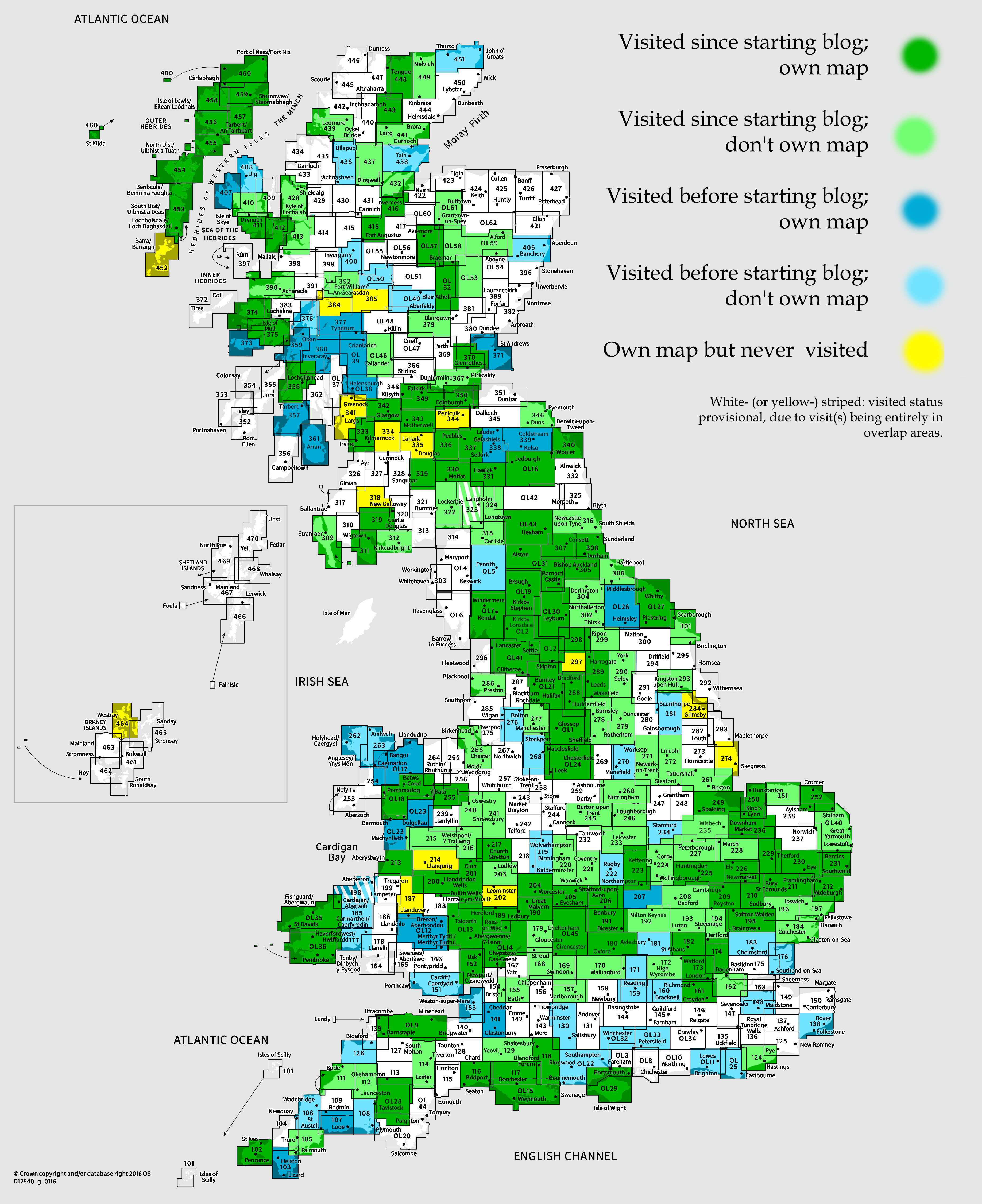
After that, we carried on driving! One final note about Callander though: I had a tough little time working out exactly which map this visit should count for! The town is right in the corner where maps OL46, OL47 and 366 meet, none of which I’d visited or posted about before. As you can see in the map above, they overlap in a pretty complex way. I initially thought that I’d only visited overlap areas and, as such, this could only be a provisional visit under The Rules, but I eventually realised that we’d briefly, while on the meadows by the river, been in the area unique to OL46, so it’s a proper visit!
The rest of the day
From Callander, we drove pretty directly to Eaglesfield, the village south of Lockerbie and north of Gretna, very near the Scotland/England border, where we’d booked to stay the night; stopping just briefly at the big Asda in Hamilton on the way.
I rather liked the Airbnb cottage we stayed in; it was really good value at some £80 for the night for a fairly spacious one-bedroom cottage.
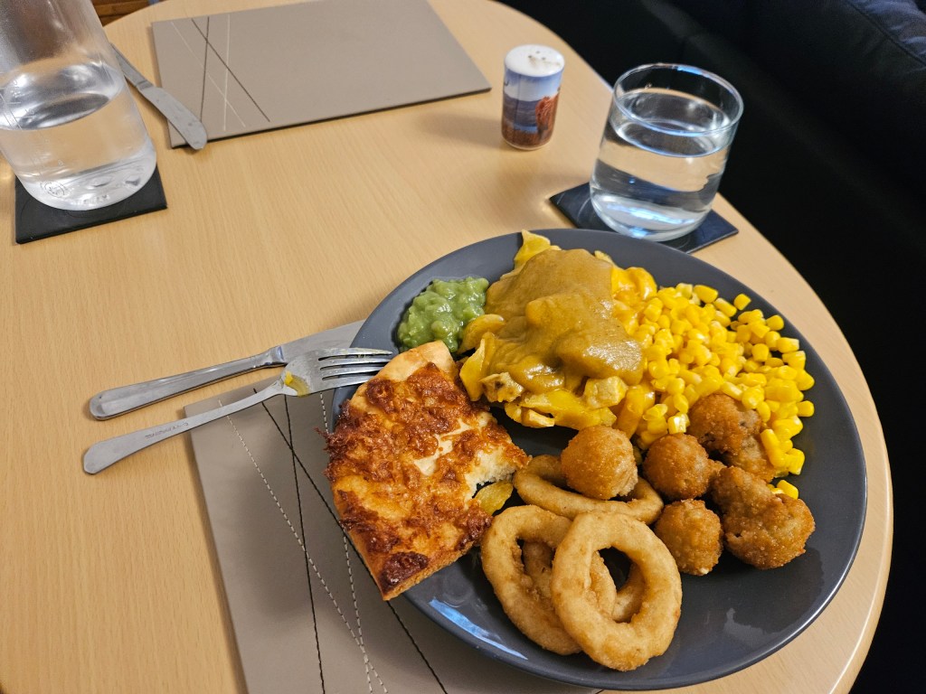
For dinner, we got a greasy takeaway from a nearby chippy, allowing me to tick off another questionably deep-fried Scottish foodstuff with some deep-fried pizza. It was okay – to be honest it was quite hard to tell apart from fried bread, I think mainly because it seemed like they’d used such a basic 99p supermarket frozen pizza that as far as I could tell there was barely any sauce or cheese on it.
That was it for that day. We had one day left of our journey back home to England, on which we visited one more map area, so I’ll tell you more in my next post!