OS Explorer map 200, Llandrindod Wells & Elan Valley: Rhayader – I own this map, but had not visited it before starting this blog. Visited for this post 3rd October 2023. This is the first of three posts about my walking trip in Wales and Shropshire from 3rd-5th October 2023.
Google Maps location links: Llandrindod Wells, Pont ar Elan, Claerwen Dam, Strata Florida Abbey, Devils Bridge
I arrived in this map area in the afternoon of 3rd October 2023, but until the day before I’d planned to be coming with my friends Erithacus, Millicent and Vesper.
A year or two ago, we’d enjoyed coming across the term the “Desert of Wales“, referring to a particularly isolated upland area in Mid Wales. We all love a bit of wilderness, and decided it sounded like a great holiday idea, especially once we realised that the ruins of Strata Florida Abbey – which we know well from the odd degree we all share and met during – sit at one edge of the region. This year, we finally got to booking it in.
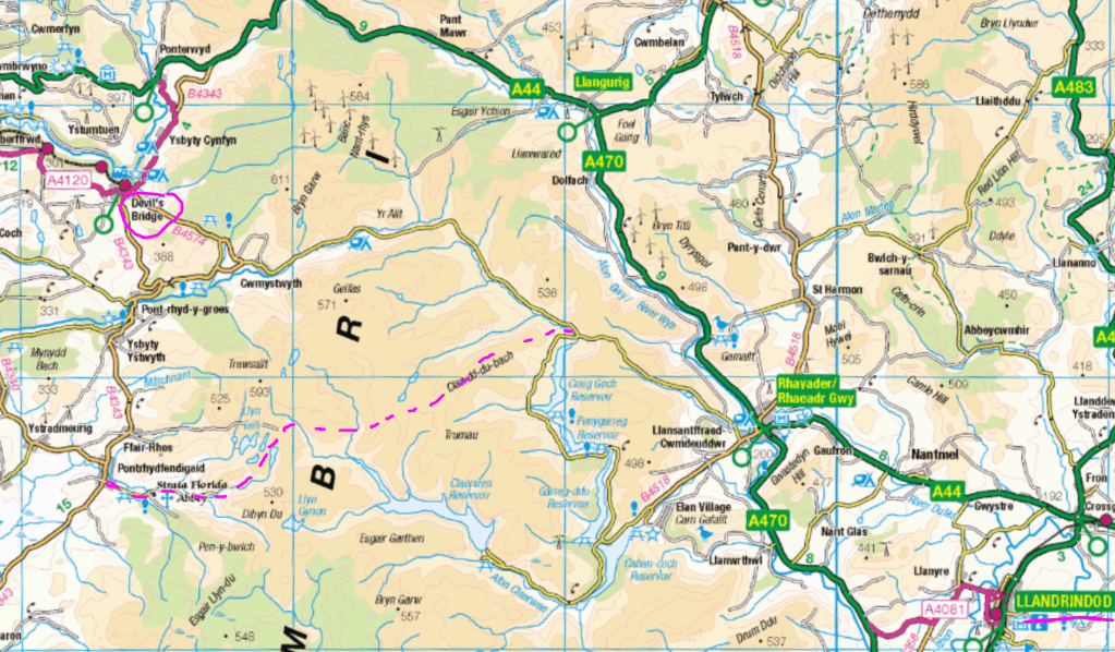
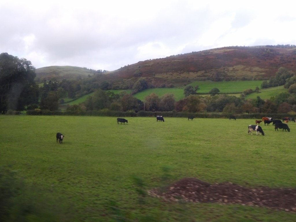
The plan was that we’d meet in Llandrindod Wells, which has a train station, and stay one night there before taking a taxi over to the starting point for our walk, a few miles northwest of Rhayader. We’d have a gentle ascent and then a fairly flat, high-level walk through some very isolated territory, and visiting Strata Florida Abbey shortly before ending our day at Pontrhydfendigaid, where we’d booked to stay couple of nights. We’d have a rest day there, before walking on northwards to Devil’s Bridge and getting the heritage steam Vale of Rheidol Railway down to Aberystwyth. We then planned to stay a couple of nights in Aberystwyth – which Erithacus knows well from her time on a summer course at the University there a few years ago – before returning home.


Alas, it was not to be. The day before we’d planned to set off, Erithacus got in contact to say she was down with a powerful stomach bug and wouldn’t be able to join us. Part of the appeal of the trip was doing it all together, and it was still possible to cancel and get at least partial refunds on our accommodation in Pontrhydfendigaid and Aberystwyth, so rather than go ahead with the planned trip without her, we decided to cancel it, and try to reschedule.

However, that first night in Llandrindod looked to no longer be possible to cancel at such short notice. It was also looking unlikely that we’d reschedule in the current year, and I had a good amount of annual leave to use up, having also cut short my trip to Norway a few weeks prior. I therefore decided I’d make use of that hotel night for a couple of days of walking in the area, even if we wouldn’t do the original trip. (Vesper and Millicent considered joining too, but decided not to in the end, having a lot going on that they could use the time to catch up on.)
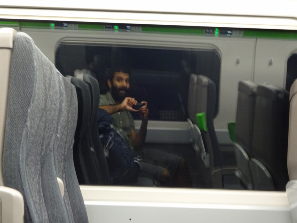
I therefore left my home in Moreton-in-Marsh around lunchtime on Tuesday as originally planned, just on my own instead of in company, getting one of the five or so daily trains from London on the Cotswold Line that continue on to Hereford rather than terminating at Worcester or Great Malvern, and so saving myself a change.
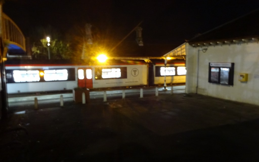
At Hereford I changed onto a Cardiff-Manchester service for just a few stops, changing again at Craven Arms onto the Heart of Wales Line to Llandrindod. Arriving there, I dropped my things off at the hotel, and went for a wander around town.
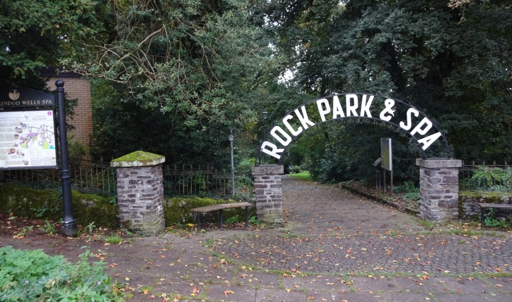
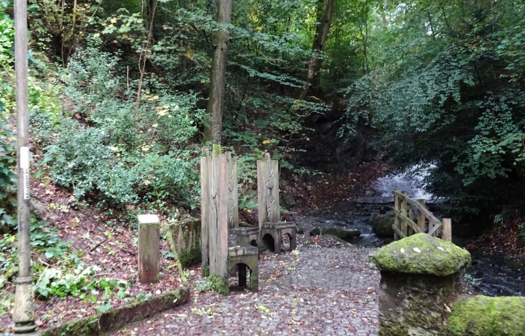
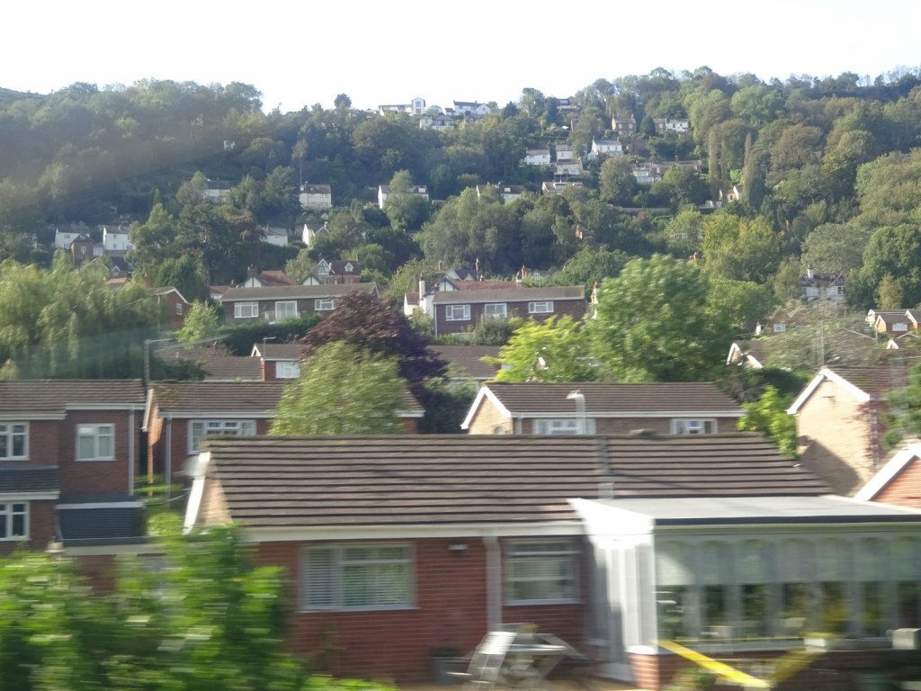
I liked Llandrindod! I didn’t know much about it before visiting, but I was expecting somewhere smaller, I think. It is, of course, an old Victorian spa town. There were several nice streets in the town centre, and I walked through the Rock Park, whch was very pretty – a smallish woodland park right in town, which also includes the various springs and fountains that drew all the 19th-century visitors.

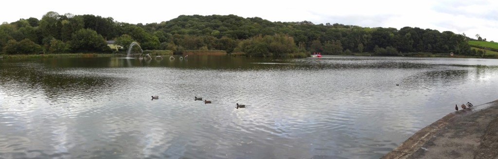
There’s also a big boating lake, which I walked to, also passing through a nice uncultivated common to get to it.
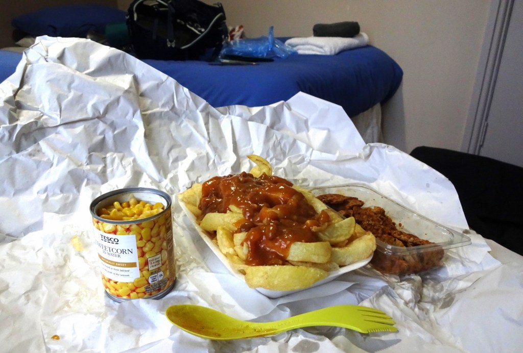
From there, I headed over to Llandrindod’s big Tesco supermarket to buy provisions for the next day, and for dinner I bought myself some chips and curry sauce from a nearby chippy, supplemented with some little veggie “chicken” piees and a tin of sweetcorn from the Tesco. It was enjoyable!
Now, the walk I’d decided on for the next day was to do a section of the Offa’s Dyke Path, starting in Knighton and heading north, and ending the day at a farm where I’d booked to stay the next night in the little above-garage studio that they rent out on Airbnb. The following day, I’d do a half-day’s more walking, no longer on the Offa’s Dyke Path, before getting a bus to Shrewsbury and heading home.
The walk would be about 15 miles and very hilly, so would take a long time and it was important to start early. However, I’d need to get the train few stops back up the line from Llandrindod to Knighton, and the times weren’t that convenient – there was an 0813-0849, but if I started walking at 9am I might not finish until 7pm or something. The train before that, though, was a very early 0550-0624.
Ideally a train around halfway between the two would’ve been great, but oh well – a very early start it was! I got up at 5am, breakfasted on an instant porridge pot in my hotel room, and headed back to the station. As we moved off back towards Knighton, I had the train to myself! And of course, I exited this map area, so this tale will continue in my next post!