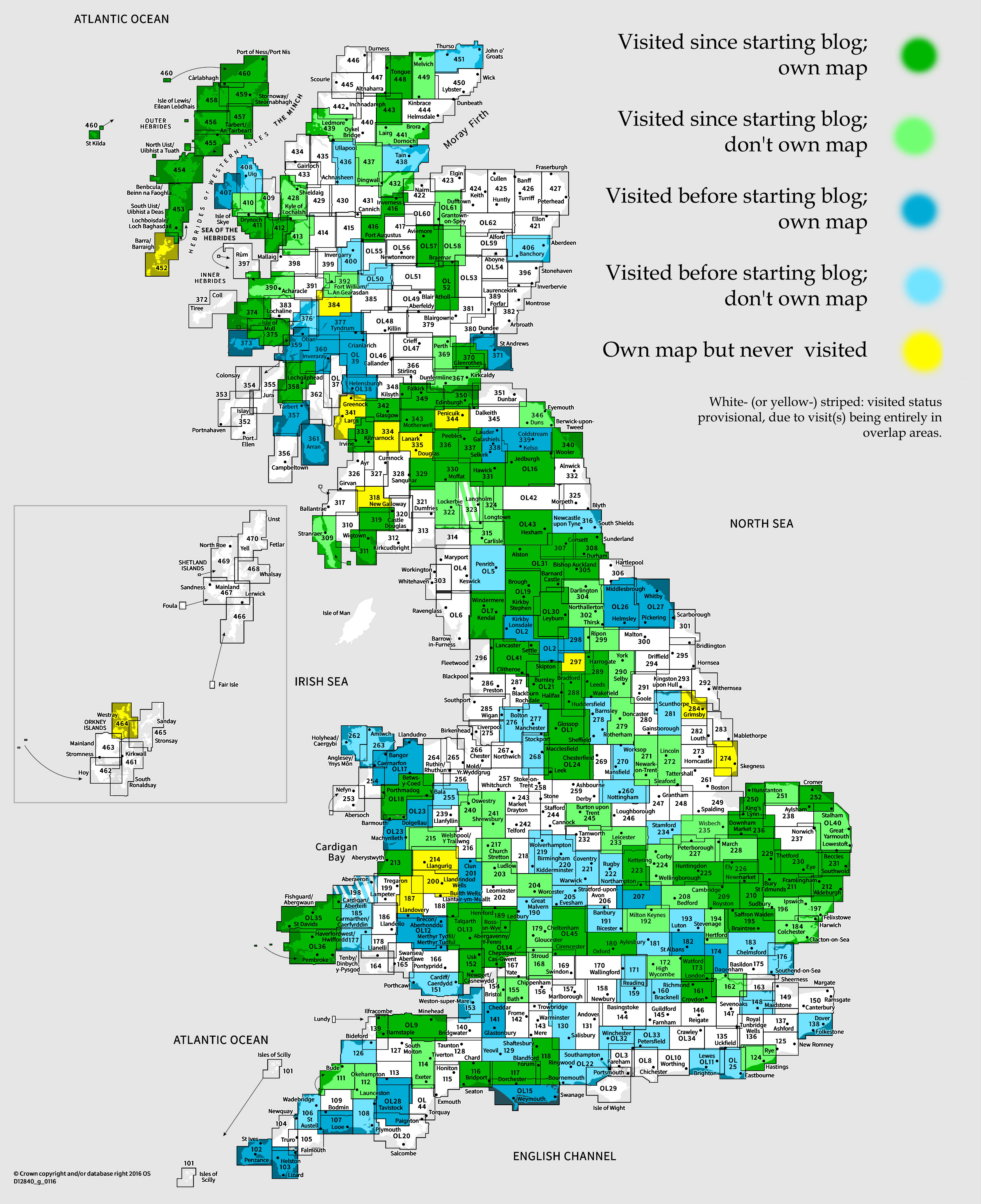
OS Explorer map 161, Westminster, Greenwich, Croydon, Esher & Twickenham – I do not own this map, but have visited it before starting this blog. Visited again for this post 16th September 2022.
Google Maps location links: Wimbledon, East Croydon
I visited this map area as part of my All Line Rover trip in September 2022, for which I did day-by-day blog posts already, and am now going through doing my regular posts about the new map areas I visited. The main content below will therefore be just a lightly edited version of relevant parts from my post about Day 0 of that trip; for a more connected narrative I recommend taking a look there instead. The Previous Visits section will be new though.
My All Line Rover trip started when I finished work for the day on Friday 16th September, leaving my employer’s offices in Primrose Hill (London), where I’d worked for the last couple of days – I wouldn’t be back at work until nearly two weeks later! During my trip, I was planning to normally finish travelling for the day by around this time, not least since it’d be getting dark soon, but not today: I’d be getting the Night Riviera sleeper train from Paddington to Cornwall, which doesn’t start boarding until 10:30pm, so I needed something to occupy myself with.

One of my possible goals for the trip was to visit all the tram and/or metro systems in Britain. Britain has embarassingly few of these, so it woudn’t be that hard to visit them all: our four metros are the London Underground, Glasgow Subway, Merseyrail, Tyne and Wear metro, and we have seven tram systems: London, Manchester, Birmingham, Nottingham, Sheffield, Blackpool and Edinburgh. (Compare France, which has around 6 metros and 30 tram systems.) I wasn’t fully settled on this, as I didn’t want to commit strongly to “box-ticking” goals and then feel I had to stick to them, rather than whatever seemed enjoyable at the time, but I started my trip by aiming for my first tram system: London’s trams in Croydon.

I therefore headed down to Wimbledon station, taking the Northern Line from Chalk Farm to Kings Cross St Pancras, and then a Thameslink train to Wimbledon.
Just over a week before I started my trip, Britain heard of the death of Queen Elizabeth, meaning the Queen’s lying-in-state was taking place in London as I travelled. At Blackfriars, where the platforms are on a giant glass-sided bridge across the Thames, I popped out of the train quickly to take a look out over the river, and stretching out along the South Bank I could see The Queue, as it became known; the orderly, miles-long line of people waiting to pay their respects.

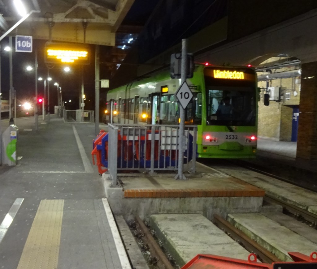
I soon arrived at Wimbledon, and into this map area, where I just briefly popped out into the street, before making my way to the tram platform. At Wimbledon, the trams uniquely (I think) stop inside the railway station.
This causes a bit of a strange setup regarding pay-as-you-go tapping with one’s Oyster or debit card: normally, for trains or the Underground, you’d tap once on entry and once on exit, so that the best fare can be calculated. But the trams work like buses: you just tap once, getting on, as the fare is fixed regardless of distance, and there are no fare gates to access or exit the stops. At Wimbledon, this means you have to tap twice when entering the station to get a tram: once to get through the barriers to enter the station generally, then once when coming to the tram platforms – this second tap charges you for the tram, but also “cancels” the usual effect of the first tap: the system needs to know you’re no longer expected to tap again to exit the train/underground system somewhere else, since otherwise it might charge you a penalty fare for not tapping out!
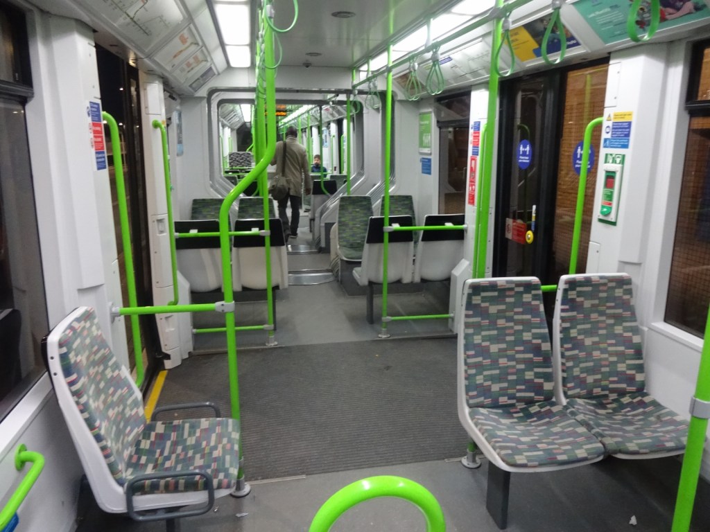
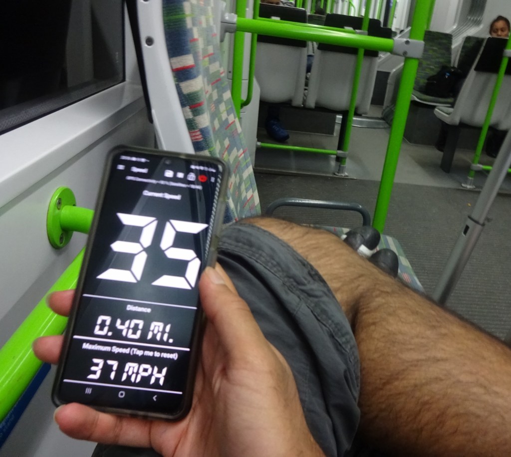
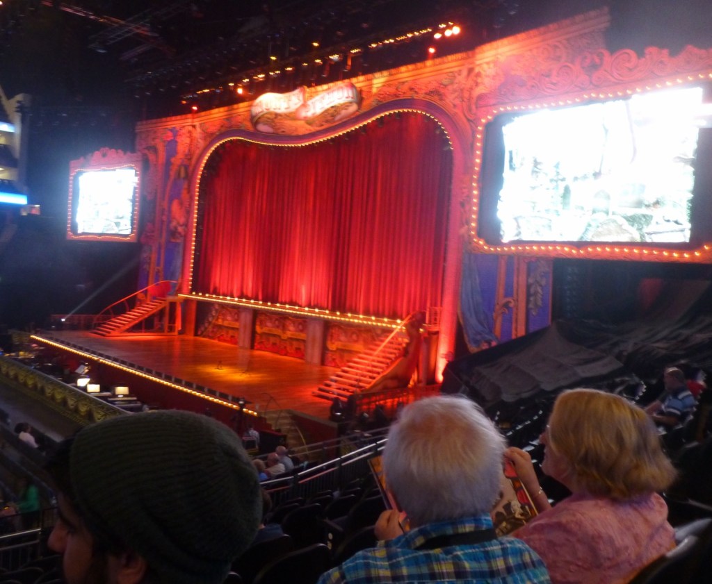
This was actually my first ever time on a tram in the UK. I enjoyed it! I like trams: there’s something satisfying about the way they have the permanence and solidity of a train, while weaving between kerbs, cars, shop fronts and traffic lights. On the sections on old rail corridors, so not running on-street, it felt like we were really zipping along, but getting the old phone speedometer app out, I was surprised to find we were only doing 35mph! It was unfortunately dark by the time I got on the tram, so I didn’t get off at Mitcham Common to see the Common as I’d considered doing – I do enjoy a nice wild-ish green space in an urban area, which it seemed like thsi might be. Another time! It took about half an hour to get to West Croydon, where I got off for a short wander.

Croydon town centre was surprisingly dead for 8:30pm on a Friday: I walked through a spacious pedestrianised high street, with all the usual shops, but there were barely any people there.

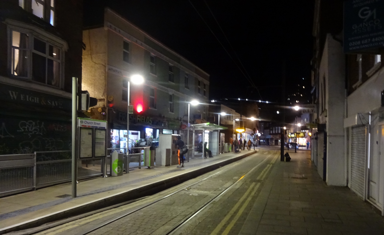

After a short walk around town, and taking a look at the outside of Croydon Minster, I did a short further tram hop to East Croydon station, where I got a Southern train up to London Victoria, leaving this map area.
Previous visits
I travel to London for work most weeks, and have visited fairly regularly for most of my life, as I’ve always lived within an hour or two’s travel of London, and there’s so much to do there. That said, I’ve not been to south London very much at all – as you can see from the fact that it took me five years to visit it since I started my blog!
You see, central London is all in the London North map. I have been to some areas that are covered by the South map over the past few years – Greenwich, Canada Water, Kennington – but they’re all in the overlap with the North map, so under The Rules didn’t count as a visit. It was only this trip to Croydon where I finally went to an area unique to this map.
Normally, this is where I’d tell you of some things I did in this map area on previous visits there, before starting this blog. The thing is, I can’t actually remember very much of what I’ve done here before; and don’t seem to have any photos of anything interesting. I think at least that I went to Chessington World of Adventures at some point as a child, which is in a unique part this map area, but I don’t remember when or have any photos. I definitely went to the Millennium Dome in 2000, but don’t have any photos and, being five years old at the time, the only thing I remember was the giant beating heart in their body exhibition. I’ve been to the O2 and Greenwich several times, to the Meridian, Royal Observatory and the Maritime Museum.
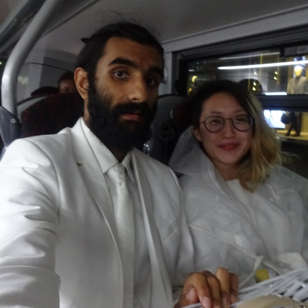
So instead, I’ll just tell you about a time when I visited the overlap area since starting the blog. In 2019, Little S and I decided to go to London’s Dîner en Blanc – the Dîner en Blanc is an event taking place in many cities around the world, where hundreds or thousands accepted guests gather and dine in some spectacular surprise outdoor location that’s not normally a dining place, like a public building, square or park. Everyone wears white – any stylish clothes, as long as they’re white – and brings their own food, crockery, tables, chairs and decorations to turn the place into a giant restaurant/picnic for the evening (or you can pay to collect these items there), then leaves at the end of the night, ideally leaving no trace. Thought it sounded fun!
We met up at Little S’s flat to cook, get dressed and so on, before getting the bus into town to our designated meeting point, one of many throughout the city. It was quite an odd experience standing in a public place in a gradually increasing crowd of white-dressed people; not quite sure what passers-by thought! From there, our group leader took us on the Underground to South Kensington, where we were put on a bus that took us to the surprise location: Battersea Park. [1]


Unfortunately, the dinner itself was rather a disappointment, resulting in news articles the next day such as this one – “Guests left for hours in ‘boggy field’ after chic outdoor picnic descends into chaos”. They’d set up a marquee and, due to some miscommunication, everyone was led to set up their tables inside it rather than outdoors, leading it to become extremely cramped. A packed marquee in an ordinary park is also not a particularly breathtaking location. There was also a lot of queuing, and a lot of annoyed people who’d booked to collect food and tables and couldn’t. We sat down, ate our food – Little S had made an egg-stuffed bread starter, and I did us an onion, mushroom and tomato tart with some salads for main – and sat around for a while, but in the end left early. Oh well!
[1] I notice now that, while Little S’s flat is in the overlap, Battersea Park is actually, just about, in a unique part of this map area, so I suppose just didn’t realise and forgot to post at the time!
